Distance :
8.08km
Loop :
Yes
Difficulty :
Easy
Duration :
2h 26
Elevation gain :
194m
Elevation loss :
210m
Starting point :
50.39518259936583,5.548321299999999
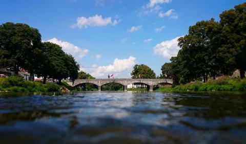
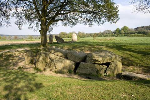
Description
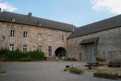
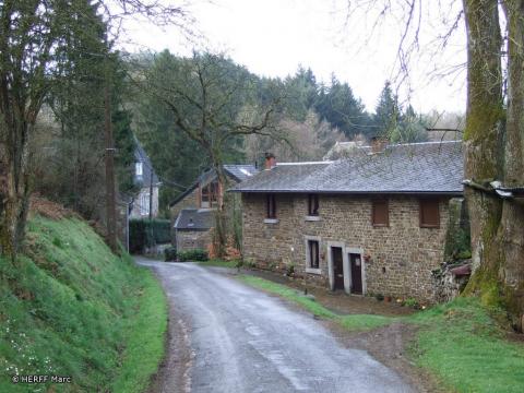
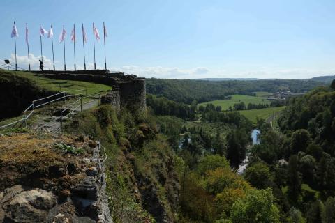
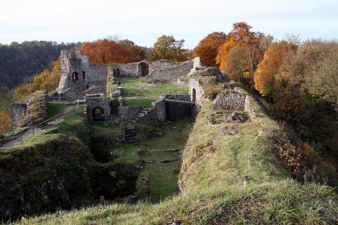
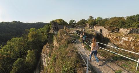
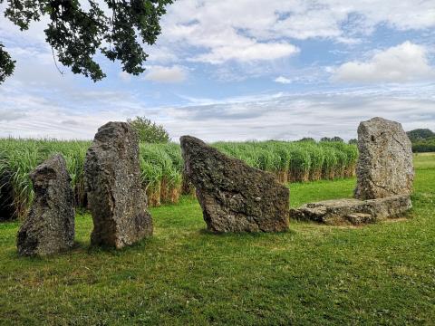
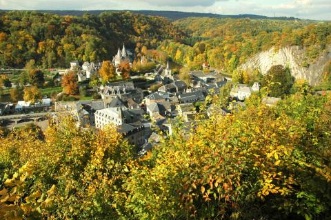
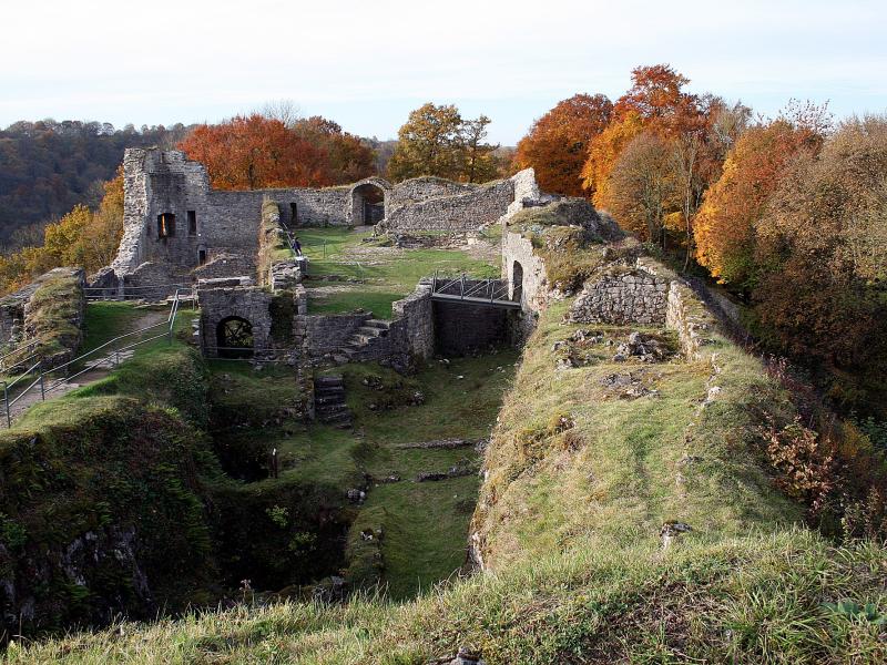
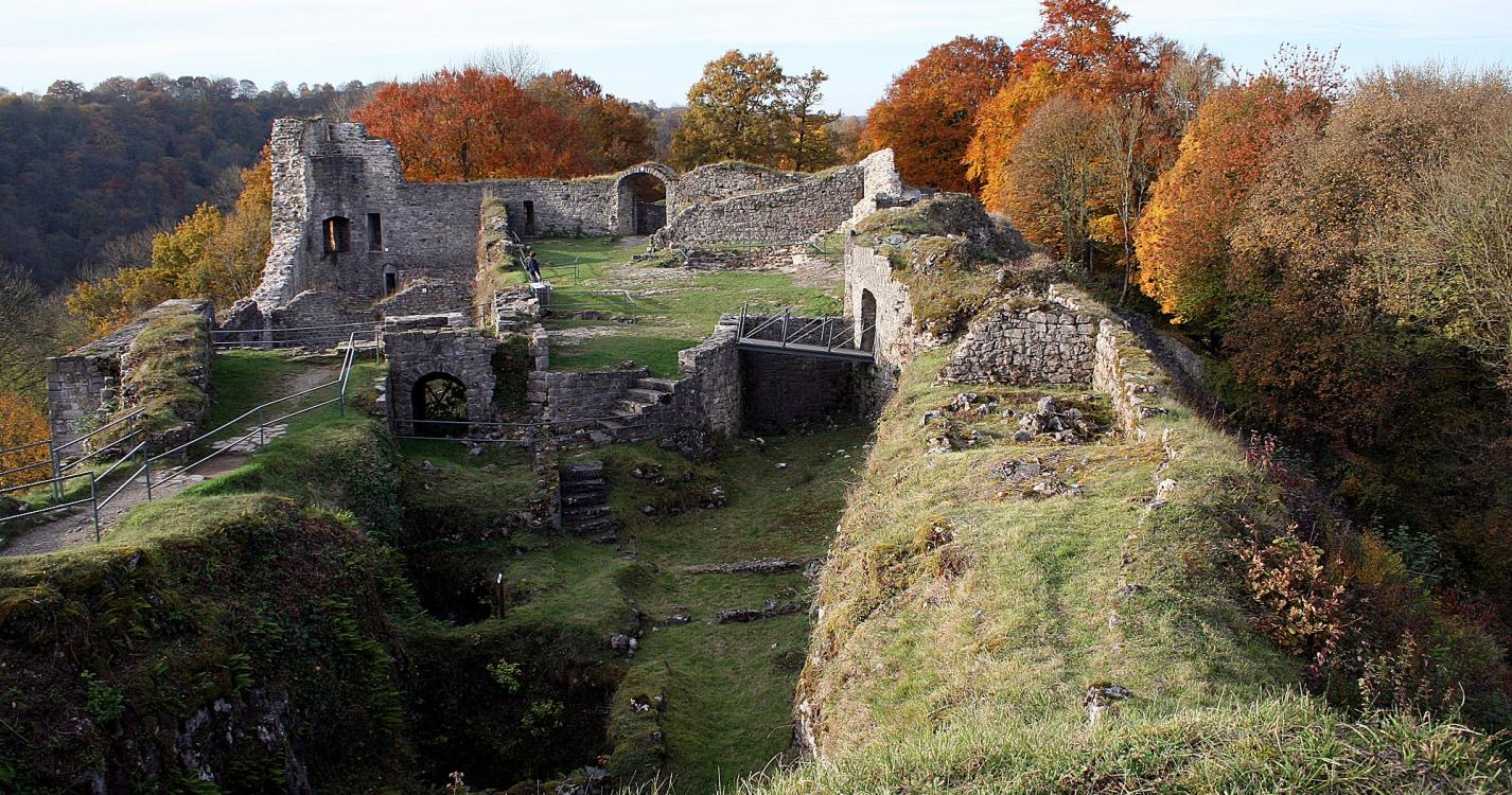
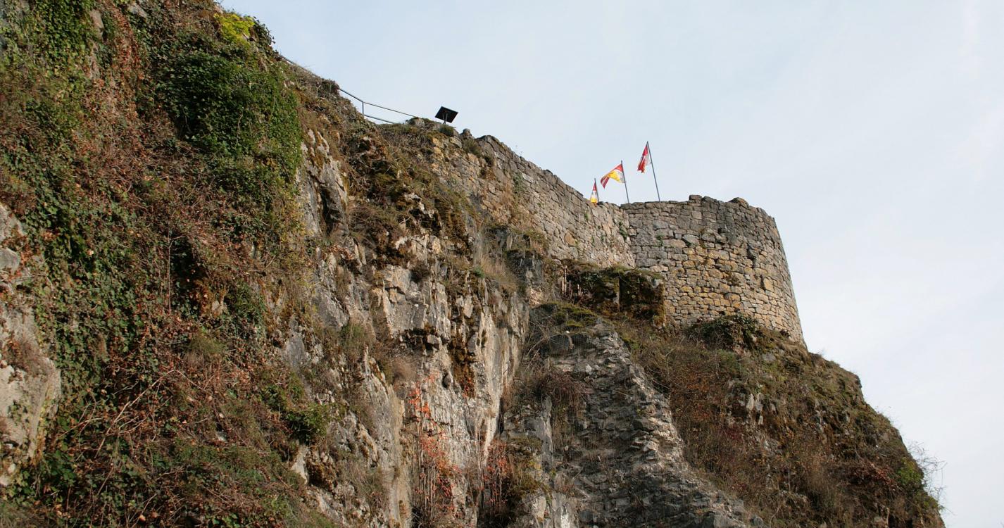
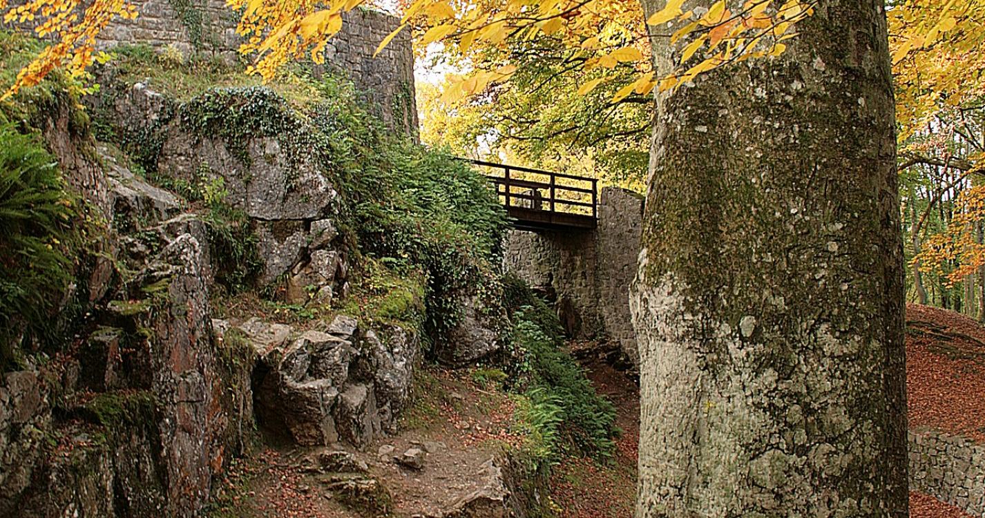
Trail created by Office du Tourisme de Ferrières.
Ardennes-étape Privilege
With your reservation, you automatically receive one month of Premium access to SityTrail, a GPS app that allows you to discover lots of great trails near your holiday home!
How do you activate your free access to SityTrail?
- Go to your customer account, Benefits section
- Click the link to create your account on the SityTrail website
- Download the app
- Explore the Ardennes!
Altimetric profile
Explore the surroundings
/Luxury-villa-Sauna-Jacuzzi-106039-01/Fiche_G-Luxury-villas-106039-01-Erezee-(Soy)-1196076-1L.jpg)