

Distance :
8.61km
Difficulty :
Easy
Duration :
2h 26
Elevation gain :
136m
Elevation loss :
233m
Starting point :
50.326138899380425,4.8572812
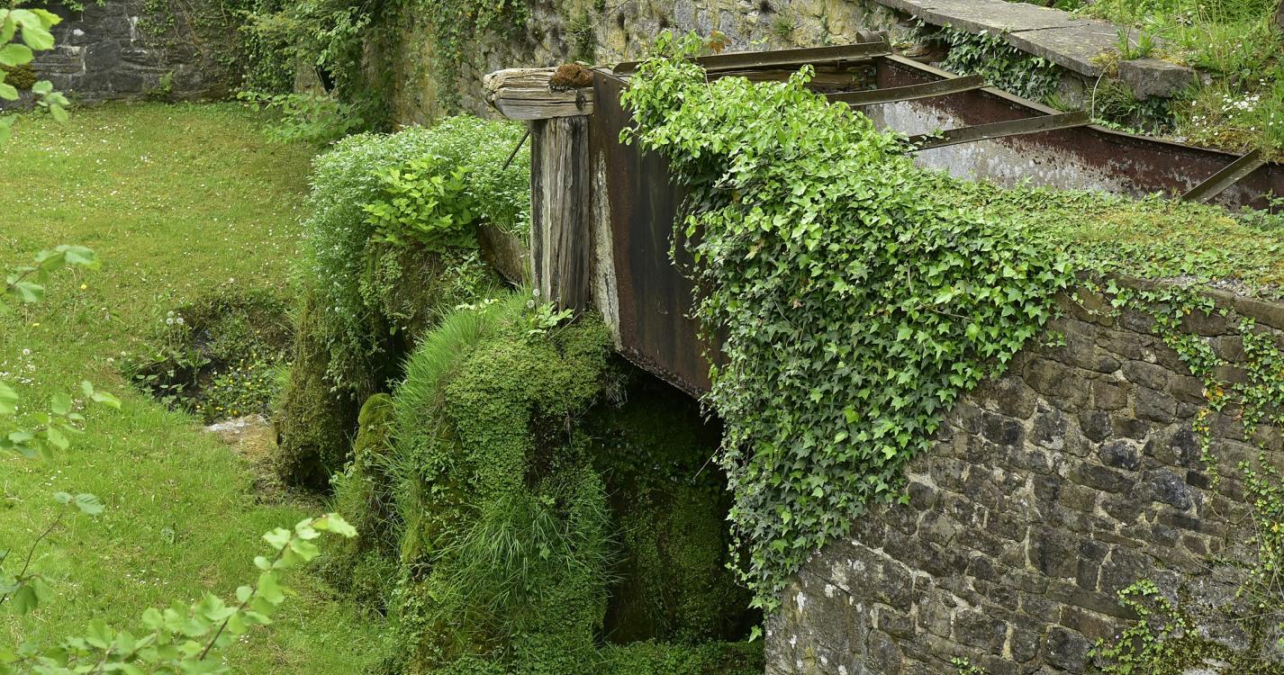
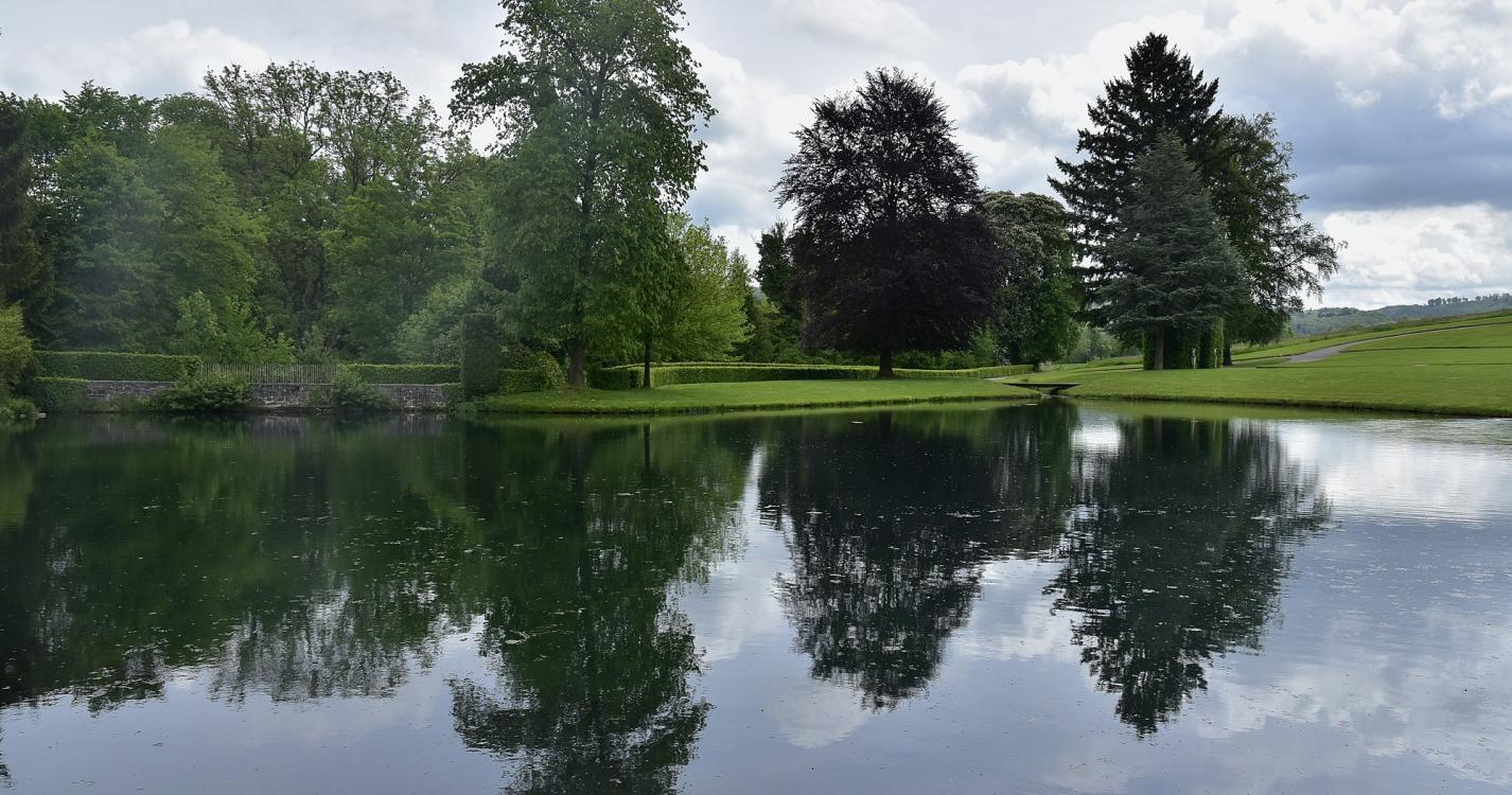
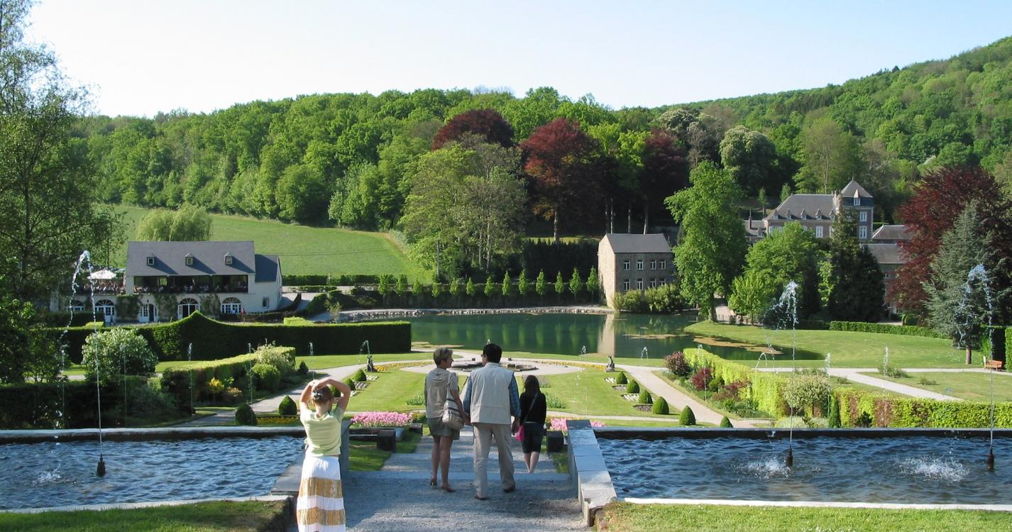
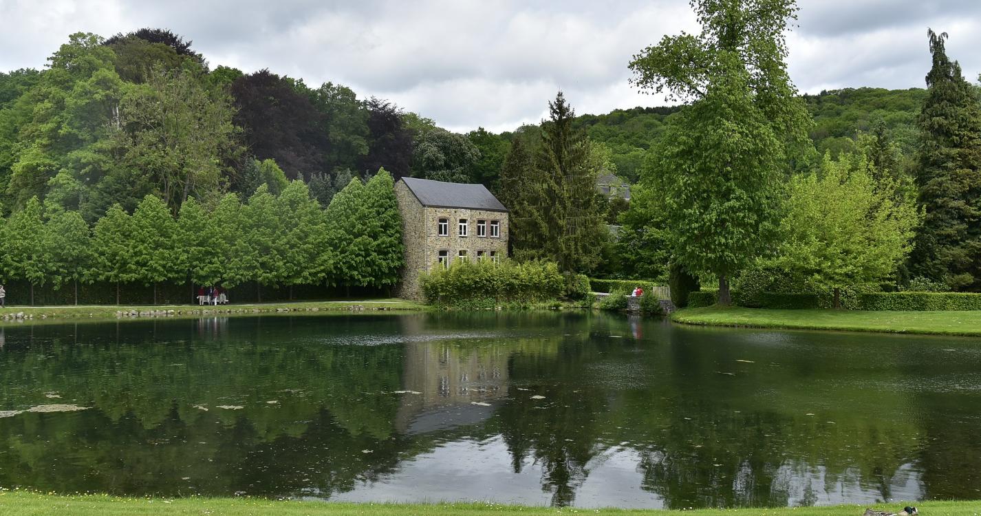
Description
Trail created by SI Anhée.
Mise à jour - Juillet 2018 - Mercator 1958
Mise à jour - Juillet 2018 - Mercator 1958
Ardennes-étape Privilege
With your reservation, you automatically receive one month of Premium access to SityTrail, a GPS app that allows you to discover lots of great trails near your holiday home!
How do you activate your free access to SityTrail?
- Go to your customer account, Benefits section
- Click the link to create your account on the SityTrail website
- Download the app
- Explore the Ardennes!
Altimetric profile
Explore the surroundings