Distance :
9.87km
Loop :
Yes
Difficulty :
Easy
Duration :
2h 45
Elevation gain :
170m
Elevation loss :
168m
Starting point :
49.980610999999996,4.936698
Description
Trail created by Pays de Bouillon en Ardenne.
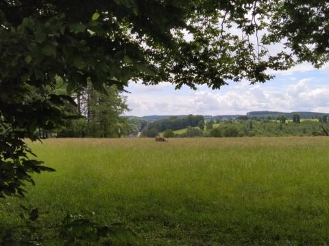
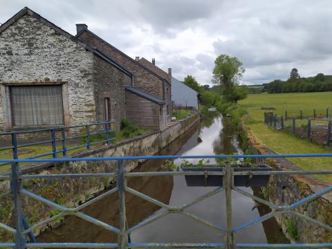
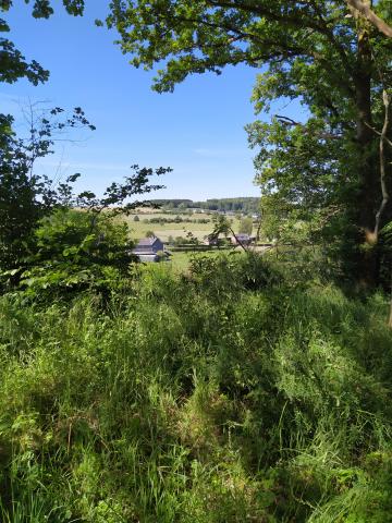
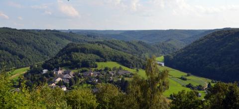
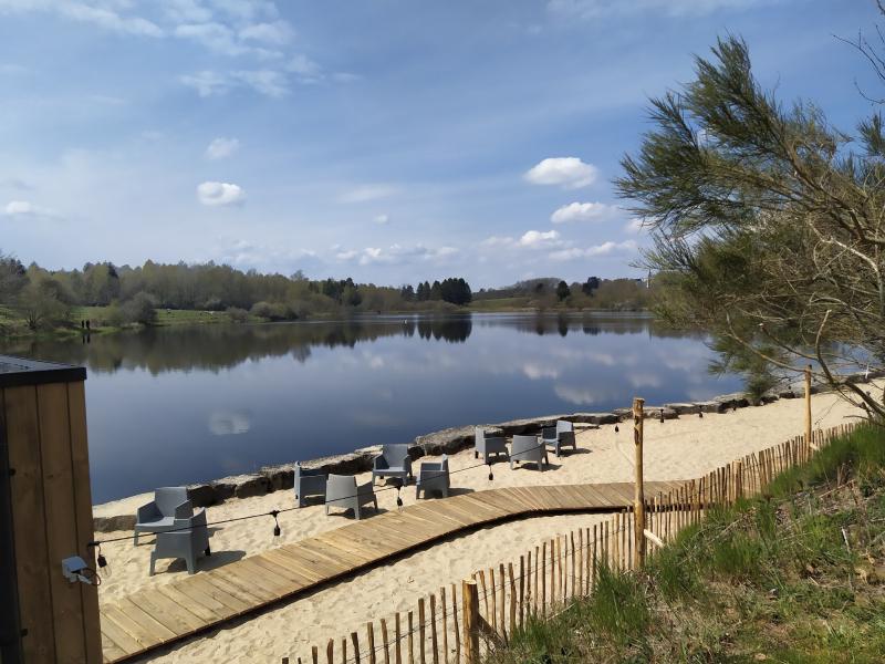
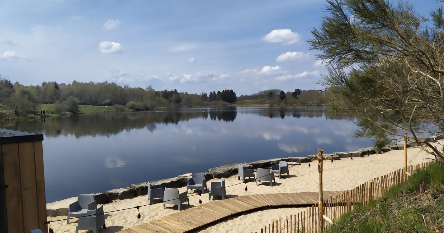
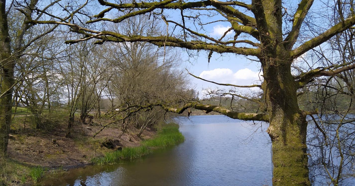
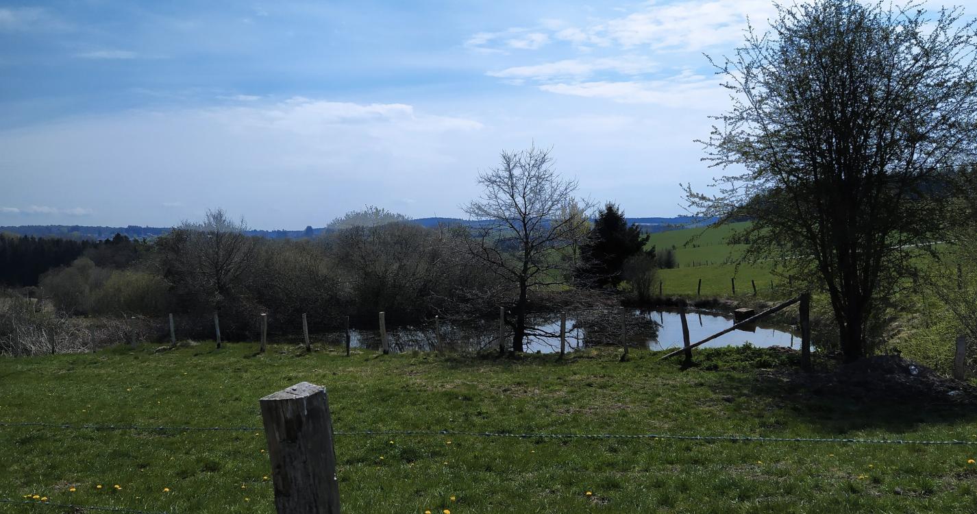
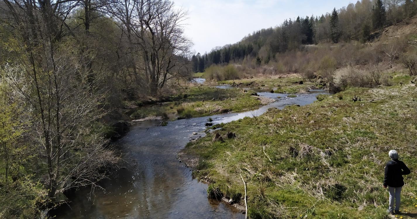
Nice and varied trail with as highlight the passage along the pond of Boiron . The start of the hike follows the meandering course of the Houille together with the GR 126 trail. At the Moulin de la Galette it leaves the GR 126 and continues on small asphalt roads through the fields via Sart Custinne to the Moulin de Boiron situated at a beautiful pond with an inviting terrace.
Ardennes-étape Privilege
With your reservation, you automatically receive one month of Premium access to SityTrail, a GPS app that allows you to discover lots of great trails near your holiday home!
How do you activate your free access to SityTrail?
- Go to your customer account, Benefits section
- Click the link to create your account on the SityTrail website
- Download the app
- Explore the Ardennes!
Altimetric profile
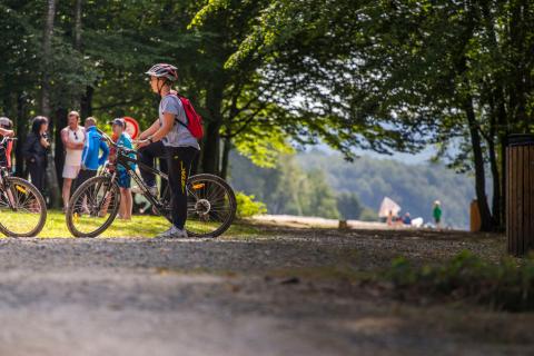
Explore the surroundings