In light of the health and political situation in our country, and following the federal decision taken on 12/03/20, it has not been possible to maintain this route. It may therefore been in poor condition. The route will be revamped as soon as possible.
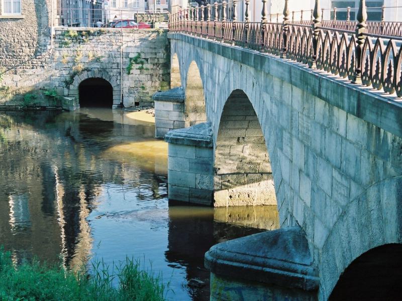
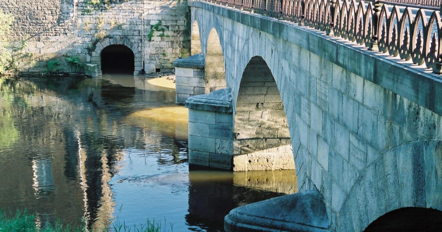
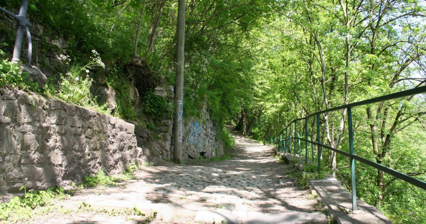
The high points of this walk are: - The sports hall - Sainte Thérèse Church - The Temple of the Antoinist movement - The fountain at the Al Cute bridge - The Hombiet bridge. Difficulty level: steep stairs, narrow pavements. Trails are marked with green butterflies.
Ardennes-étape Privilege
With your reservation, you automatically receive one month of Premium access to SityTrail, a GPS app that allows you to discover lots of great trails near your holiday home!
How do you activate your free access to SityTrail?
- Go to your customer account, Benefits section
- Click the link to create your account on the SityTrail website
- Download the app
- Explore the Ardennes!
Altimetric profile
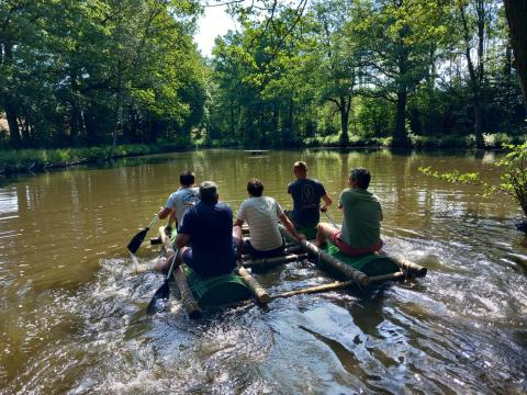
Explore the surroundings