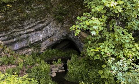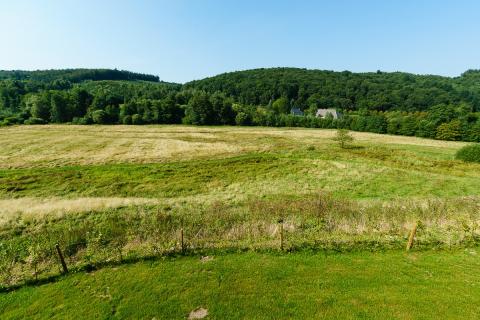

Like many villages in the region, Chastrès was occupied during Roman times. The hub of the Gallo-Roman villa of Gau, the plain extends towards Thy-le-Château and was crossed by the Roman road from Bavay to Trrêves. The walk leads you through fields towards the ‘Notre-Dame des Affligés’ chapel in the hamlet known as ‘les Splingues’. The virgin is invoked against neuralgia and according to tradition, after praying, women use to throw one of their hair pins onto the ground. Another version explains that pins (hence the name Splingues, dialect for ‘épingle’ or pin in French) were thrown by young girls in the hopes of marrying within the year. This peak offers a nice viewpoint over the region. The walk continues towards a grotto, which is dedicated to Our Lady of Lourdes. It is located in a park and is 13 metres deep and 11 metres wide.
Ardennes-étape Privilege
With your reservation, you automatically receive one month of Premium access to SityTrail, a GPS app that allows you to discover lots of great trails near your holiday home!
How do you activate your free access to SityTrail?
- Go to your customer account, Benefits section
- Click the link to create your account on the SityTrail website
- Download the app
- Explore the Ardennes!
Altimetric profile
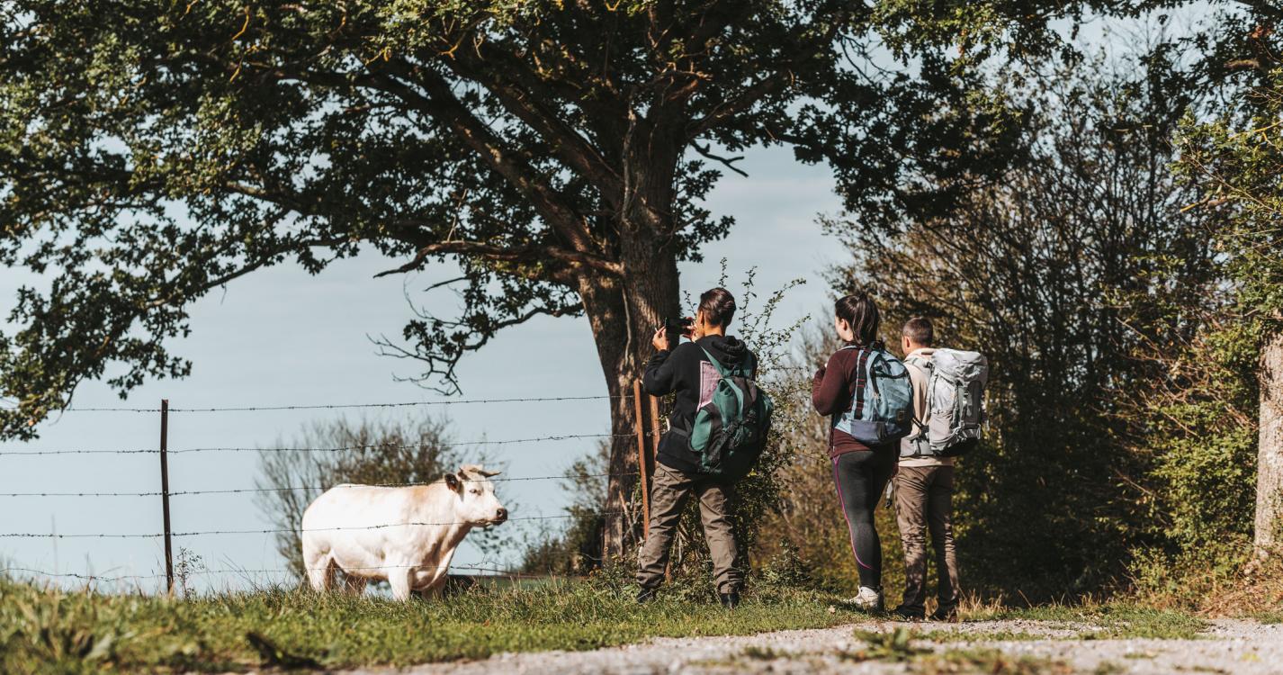
Explore the surroundings