Distance :
61.6km
Difficulty :
Très difficile
Duration :
5h 03
Elevation gain :
1329m
Elevation loss :
1323m
Starting point :
50.034546,5.529223
Description
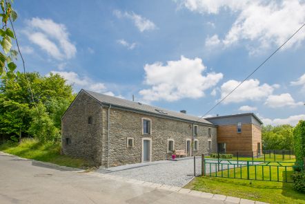
Itinéraire VTT non balisé dans la commune de Sainte-Ode
Concepteur: Syndicat d'Initiative de Sainte-Ode
Ardennes-étape Privilege
Loading...
With your reservation, you automatically receive one month of Premium access to SityTrail, a GPS app that allows you to discover lots of great trails near your holiday home!
How do you activate your free access to SityTrail?
- Go to your customer account, Benefits section
- Click the link to create your account on the SityTrail website
- Download the app
- Explore the Ardennes!
Altimetric profile
Explore the surroundings