


On 7 June 1995, the geographical centre of the EU 15 was in Viroinval. It is located in the place named ‘du Trou du Diable’ (the Devil’s hole) which is an old slate quarry where a glass cathedral was built. A choice of two hikes will take you there. A long 15-km route or the variant that reduces the trail to 9 km. The circuit goes through the woods to a boundary ridge that dominates the French Meuse with its panorama over the river and the towns of Fumay and Haybes. Old slate quarries, which was a flourishing industry until the dawn of the First World War, lie along the route. At the place named ‘Risque-Tout’ (Risk-it-All), you can reduce the hike to 9 km by taking the variant proposed to the right (green cross).
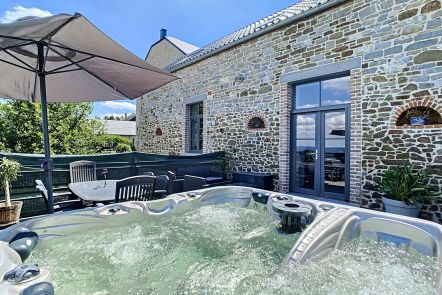
Ardennes-étape Privilege
With your reservation, you automatically receive one month of Premium access to SityTrail, a GPS app that allows you to discover lots of great trails near your holiday home!
How do you activate your free access to SityTrail?
- Go to your customer account, Benefits section
- Click the link to create your account on the SityTrail website
- Download the app
- Explore the Ardennes!
Altimetric profile
Explore the surroundings