

Distance :
4.61km
Loop :
Yes
Difficulty :
Easy
Duration :
1h 24
Elevation gain :
119m
Elevation loss :
121m
Starting point :
50.091558,4.59146
Description
Trail created by Pays des Lacs.
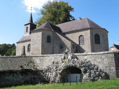
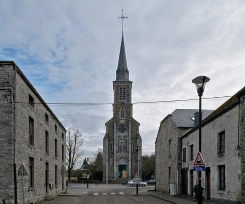
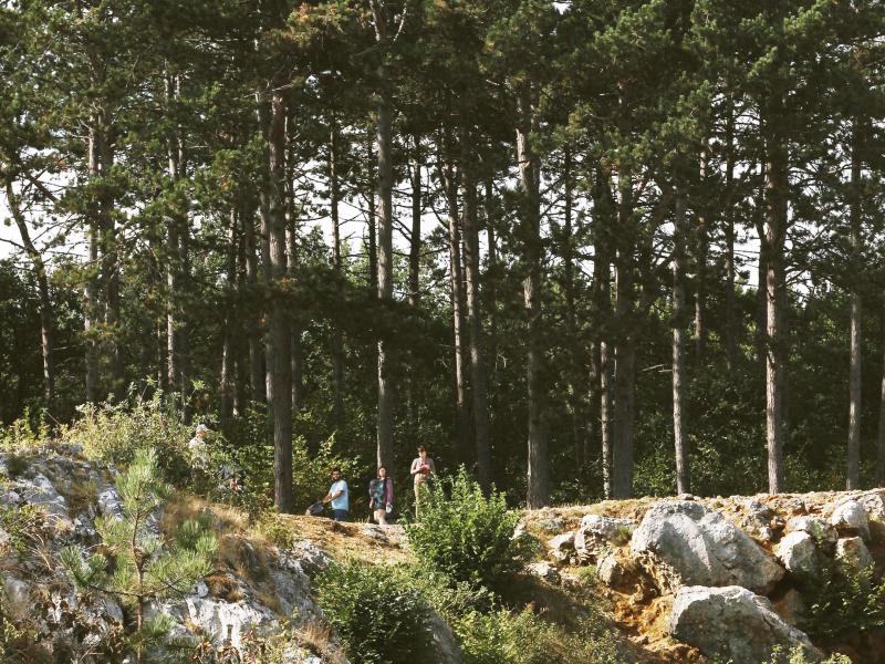
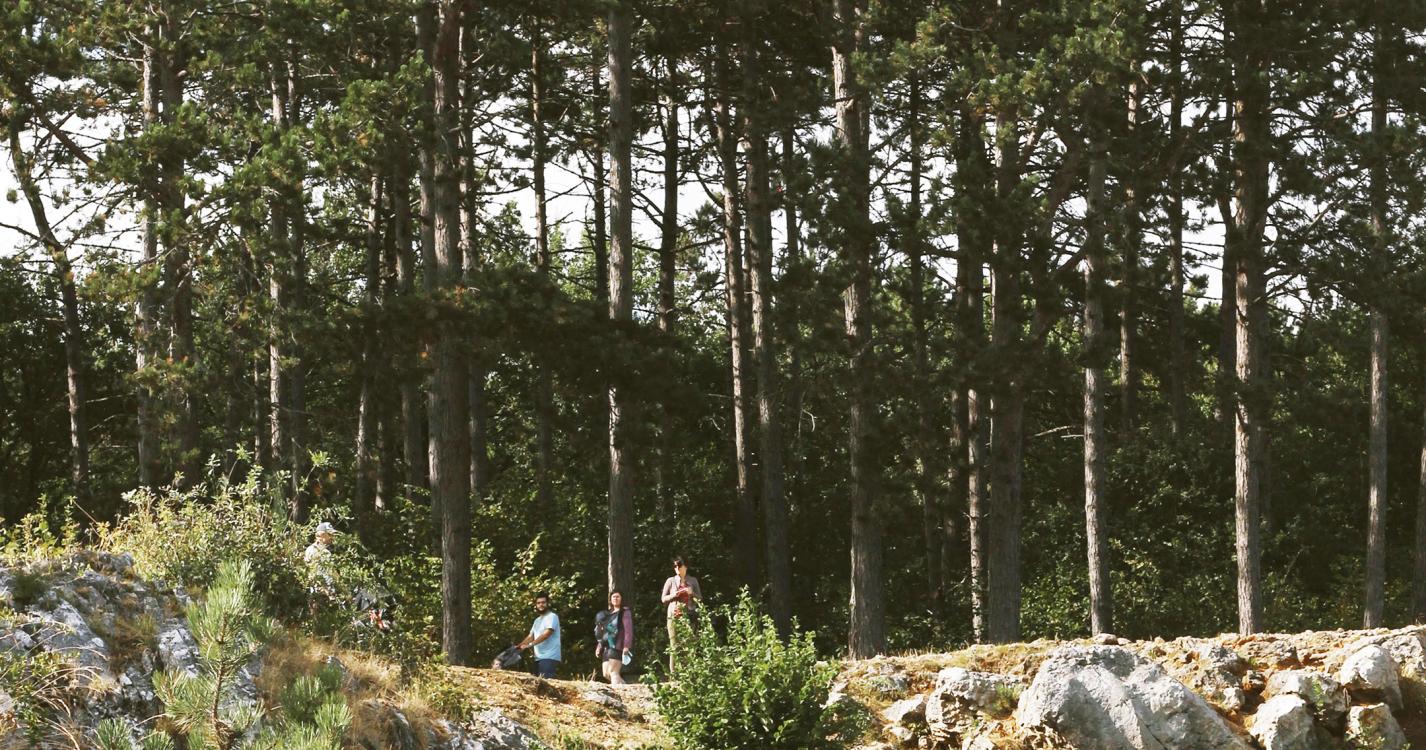
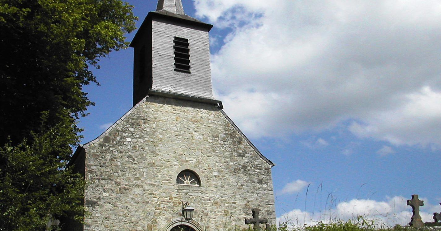
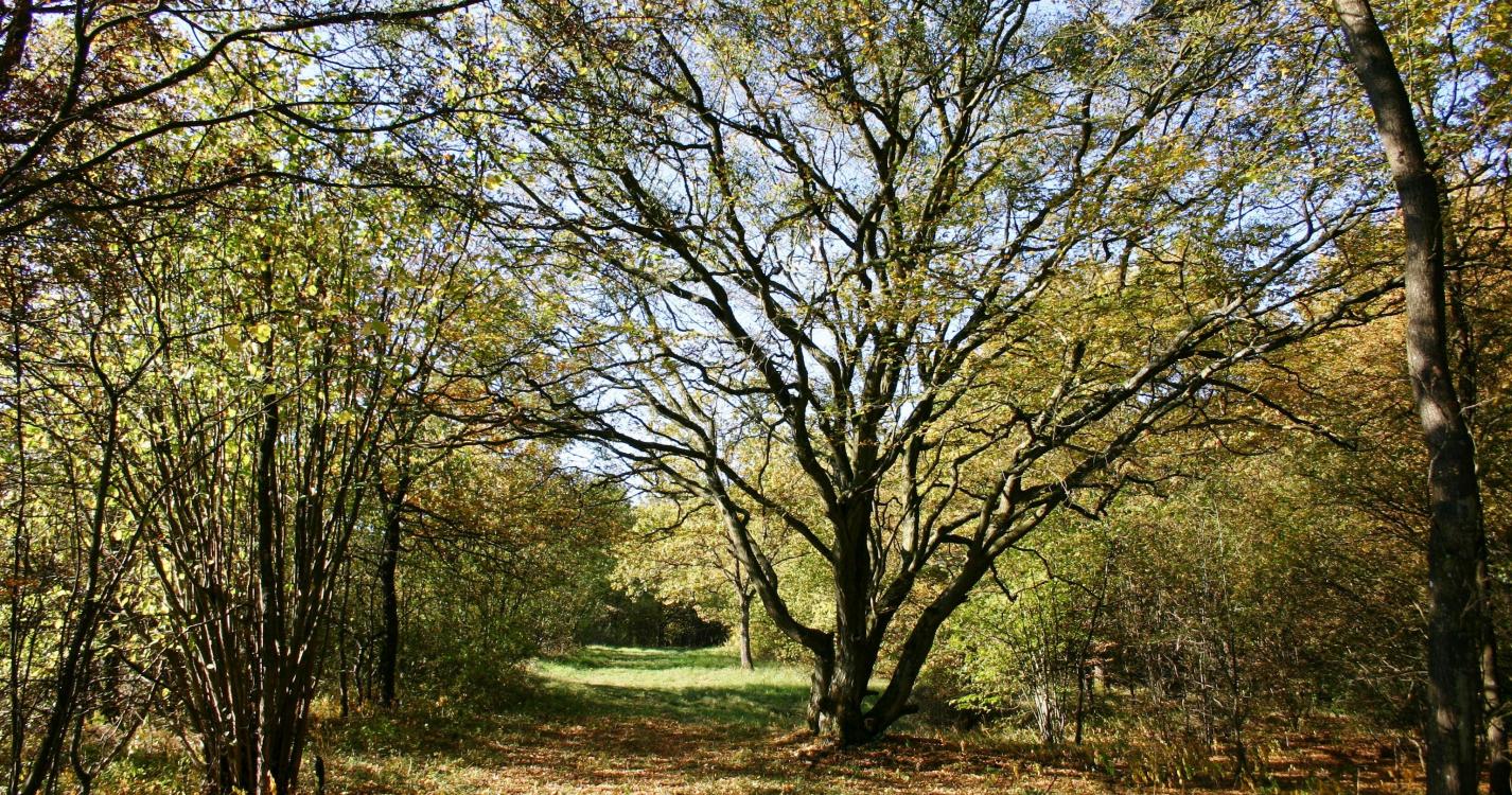
The route to the south of the picturesque village of Dourbes takes you by the ruins of the Château de Haute Roche that dates back to the 14th century. Perched at the top of a spur of chalk, this little fortress has a gate flanked by two turrets and a drawbridge. It was destroyed in 1555 during the war between Charles V and Henry II. This site is mainly covered in forest with oak trees and hornbeams that especially like chalky soil.
Ardennes-étape Privilege
Loading...
With your reservation, you automatically receive one month of Premium access to SityTrail, a GPS app that allows you to discover lots of great trails near your holiday home!
How do you activate your free access to SityTrail?
- Go to your customer account, Benefits section
- Click the link to create your account on the SityTrail website
- Download the app
- Explore the Ardennes!
Altimetric profile
Explore the surroundings

/Holiday-cottage-Sauna-105494-01/Fiche_G-Holiday-homes-105494-01-Doische-(Dinant)-1529400-1L.jpg)