The walk crosses the ‘Abannets’ plateau. Its chasms dug into the chalk guide you to ‘falcon rock’ and its vista over the village of Olloy-sur-Viroin. In the distance, the valleys of the Calestienne turn into the Ardennes forests. The rest of the route takes you to the ‘Fondry des Chiens’, whose chasm can reach up to 20 metres deep. Nearby, rare and delicate vegetation has developed on a chalk soil. On your return to the village, the ‘Maticolo’, a chasm above the course of the Eau Noire, forms a funnel-shaped cave that used to be covered in iron ore.
Ardennes-étape Privilege
With your reservation, you automatically receive one month of Premium access to SityTrail, a GPS app that allows you to discover lots of great trails near your holiday home!
How do you activate your free access to SityTrail?
- Go to your customer account, Benefits section
- Click the link to create your account on the SityTrail website
- Download the app
- Explore the Ardennes!
Altimetric profile
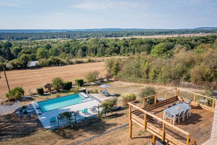
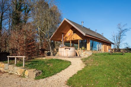
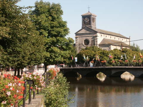
Explore the surroundings