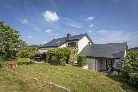
Welcome to the locality of the Tour des Tagettes. Although the exact origin of this name is not known, there are some theories on the subject. The most likely suggests that the word “Tour” was originally “Cour” meaning a home in Roman times. The word would have evolved over the centuries. When it comes to the "des Tagettes” part, it’s more complicated. It could be a family name or a nickname, but this is just a theory and has not yet been proven. The Tour des Tagettes therefore maintains all its mystery…
Want more? Find this walk in our folder “ The Bucolic Walks” to be discovered in our GaumeShop!
Ardennes-étape Privilege
With your reservation, you automatically receive one month of Premium access to SityTrail, a GPS app that allows you to discover lots of great trails near your holiday home!
How do you activate your free access to SityTrail?
- Go to your customer account, Benefits section
- Click the link to create your account on the SityTrail website
- Download the app
- Explore the Ardennes!
Altimetric profile
Explore the surroundings


