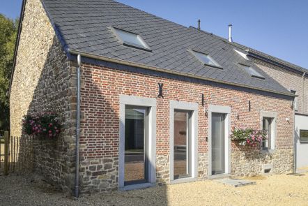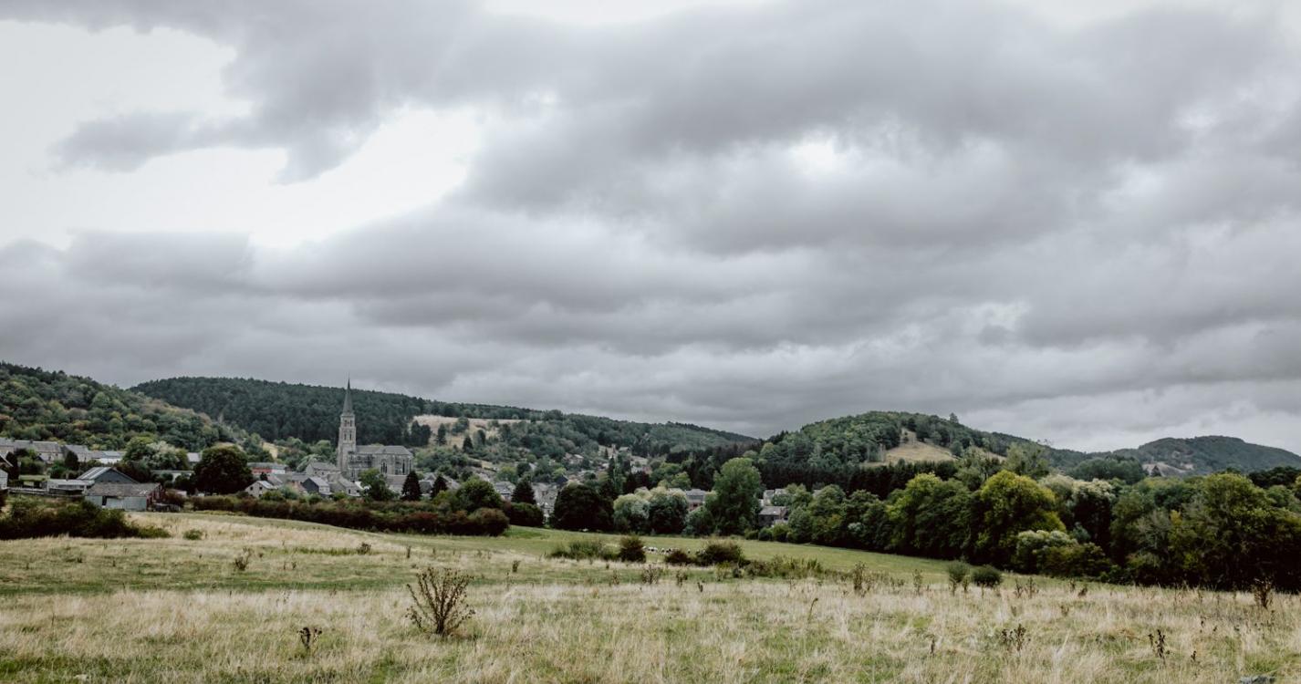

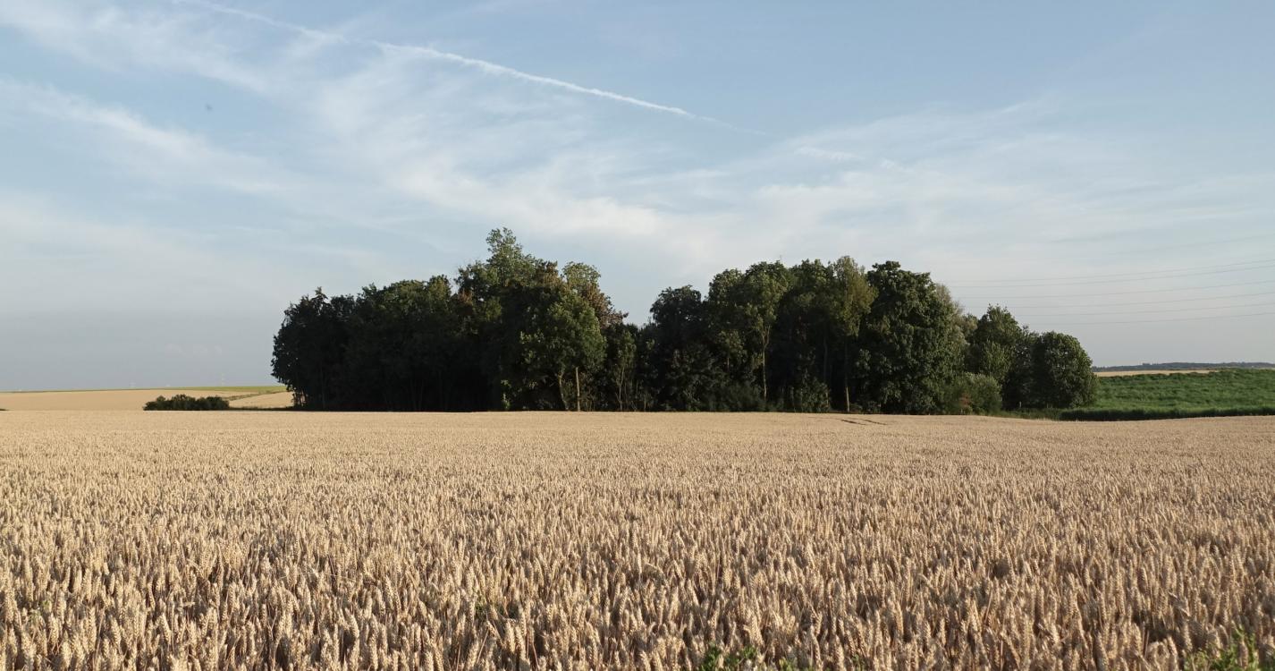

The itinerary begins in the village of museums in the Calestienne, in the heart of the Viroin valley. After passing along quarries and through limestone lawns that are typical of the region, the route ascends into a wooded valley that is nestled into the Bois de Matignolle woods. In the highlands of Treignes, the countryside opens onto cultivated fields and meadows. An imposing stone farmhouse is found in the hamlet of Matignolle. The route then crosses the countryside and winds back down to Treignes, offering magnificent, unobstructed views of the Calestienne countryside. The Chemin de St. Jacques de Compostelle routes partially follow this itinerary.
Ardennes-étape Privilege
With your reservation, you automatically receive one month of Premium access to SityTrail, a GPS app that allows you to discover lots of great trails near your holiday home!
How do you activate your free access to SityTrail?
- Go to your customer account, Benefits section
- Click the link to create your account on the SityTrail website
- Download the app
- Explore the Ardennes!
Altimetric profile
Explore the surroundings