


Distance :
7.66km
Signpost
Loop :
Yes
Difficulty :
Easy
Duration :
1h 40
Elevation gain :
88m
Elevation loss :
87m
Starting point :
50.027716,4.176627
Description
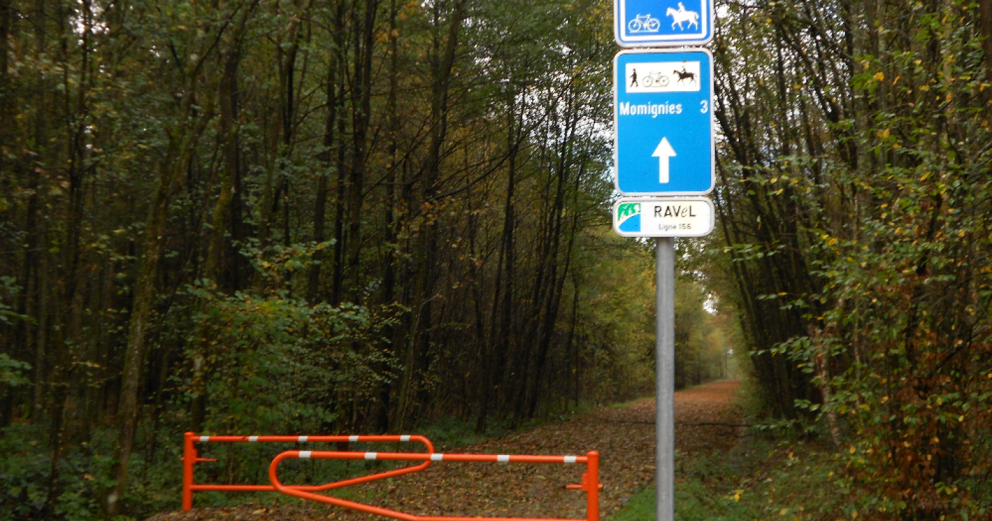
The origin of the spots known as "Hayettes de Momignies, Haies de Macon" dates back to the time of the Gauls:
at that time, the Nerviens had built a thick, very tight hedge of forests to stop
the advancing Romans during the conquest of Gaul, hence the name "Franche Haie" (meaning "Frankish hedge" or "free hedge").
Ardennes-étape Privilege
Loading...
With your reservation, you automatically receive one month of Premium access to SityTrail, a GPS app that allows you to discover lots of great trails near your holiday home!
How do you activate your free access to SityTrail?
- Go to your customer account, Benefits section
- Click the link to create your account on the SityTrail website
- Download the app
- Explore the Ardennes!
Altimetric profile
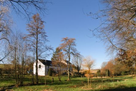
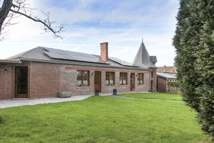
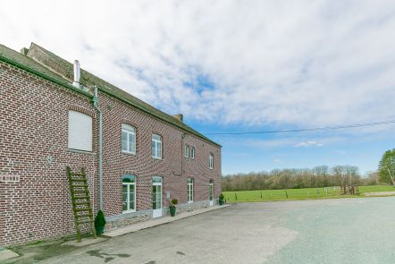
Explore the surroundings