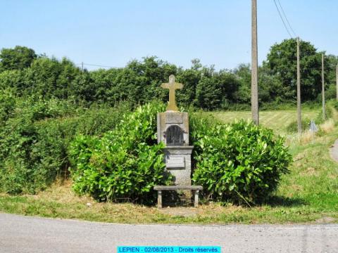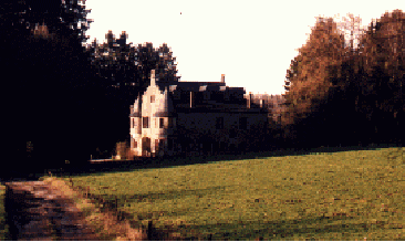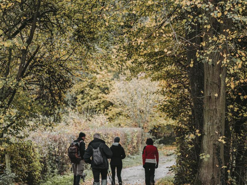
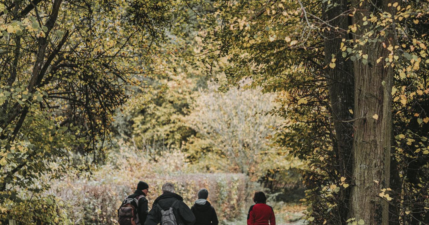


At the heart of Seloignes wood, choose a peaceful hike through the countryside along the river Oise. Seloignes wood is an immense humpback that separates the Meuse and Oise basins. The Oise extends over around 15 km in Belgium. Its source is to the north of Scourmont abbey in the municipality of Chimay, then it turns west to the French border where it gives its name to the village of Macquenoise. It then descends south to cross the departments of Aisne, Oise and Seine-et-Oise and flows into the Seine at Conflans-Sainte-Honorine, not far from Paris.
Ardennes-étape Privilege
With your reservation, you automatically receive one month of Premium access to SityTrail, a GPS app that allows you to discover lots of great trails near your holiday home!
How do you activate your free access to SityTrail?
- Go to your customer account, Benefits section
- Click the link to create your account on the SityTrail website
- Download the app
- Explore the Ardennes!
Altimetric profile
Explore the surroundings