

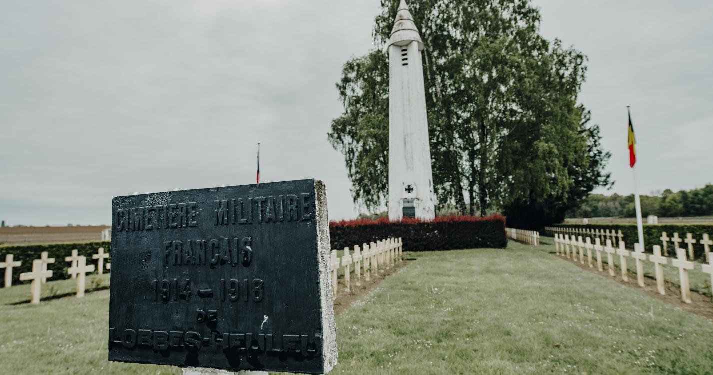

On 23 August 1914, the French soldiers slowed the approach of the Germans. Despite the German’s greater numbers, the French army inflicted heavy losses on the enemy soldiers. In the evening, the cavalry corps withdrew to the south. The village was torched and the inhabitants cared for the injured and buried the bodies. The route leads you to discover the history of the First World War, the battle tactics, the organisation of treatment and the building of the French cemetery and its monuments erected in honour of the soldiers who died in combat.
Ardennes-étape Privilege
With your reservation, you automatically receive one month of Premium access to SityTrail, a GPS app that allows you to discover lots of great trails near your holiday home!
How do you activate your free access to SityTrail?
- Go to your customer account, Benefits section
- Click the link to create your account on the SityTrail website
- Download the app
- Explore the Ardennes!
Altimetric profile
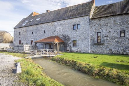
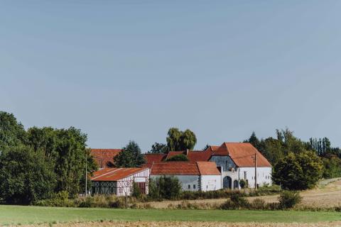
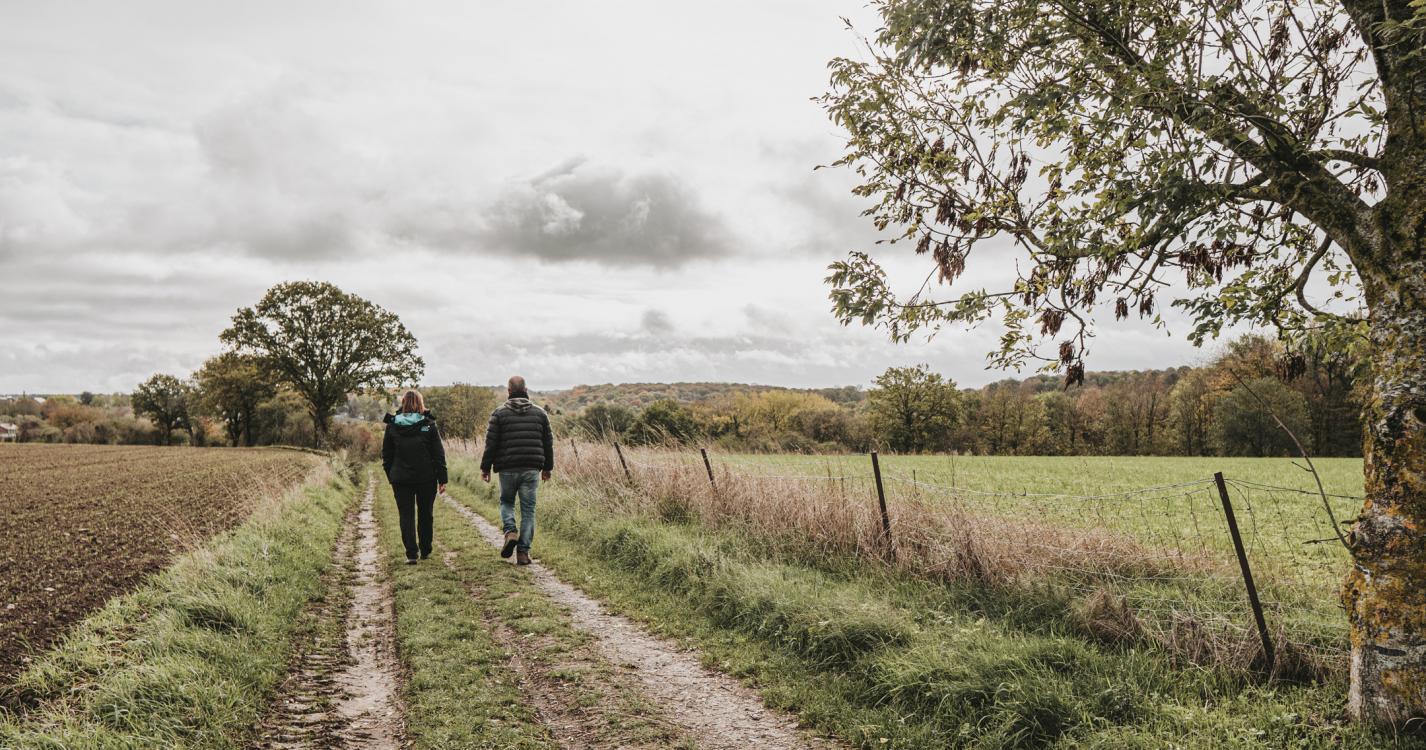
Explore the surroundings