Distance :
3.18km
Loop :
Yes
Duration :
0h 50
Elevation gain :
21m
Elevation loss :
21m
Starting point :
50.164168,4.226693
Description
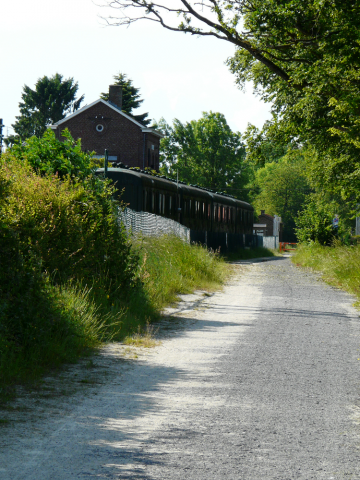
Sautin is nearly the central point of the municipality, and its name is said to come from the Latin "Salictinus" (smallwillow wood) or "Saltus" (grassy wood). The youngest village in the municipality and also the canton of Beaumont. Until 1 January 1914, it was a hamlet of Sivry. The census of 1608 states that the hamlet of Sautin is an integral part of Sivry, but a separate description proves that it had a
community life that was clearly distinct from the mother parish. In 1834, a handful
of people demanded municipal independence for the hamlet. In 1858, "le comité séparatiste" ("the separatist committee") joined forces with the hamlets of Vieux Sart, Blagnies, Les Culots and Les Voies de Renlies. After many actions, demands and administrative formalities,
Sautin became independent on 10 April 1914 and remained so until January
1977, when there was a merger between the 5 municipalities and a hamlet, the hamlet of Gare de Sivry (municipality of Solre-St-Géry), Montbliart, Sivry, Grandrieu and Rance. Its surface area is 64 hectares, of which 200 hectares are shared with Sautin.
Ardennes-étape Privilege
Loading...
With your reservation, you automatically receive one month of Premium access to SityTrail, a GPS app that allows you to discover lots of great trails near your holiday home!
How do you activate your free access to SityTrail?
- Go to your customer account, Benefits section
- Click the link to create your account on the SityTrail website
- Download the app
- Explore the Ardennes!
Altimetric profile
Explore the surroundings