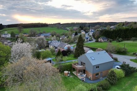
Welcome to the village of Sommethonne!
The village of Sommethonne is believed to have taken its name from the Latin "Summa-Thonnis" meaning "The top of the source of the Thonne". The Thonne is the river whose source is not far from the village and flows into the Chiers in Thonne-Les-Prés in France. This Gaume village has been maintained in its original state with few noticeably modern buildings. This is what gives the place its charm.
Want more? Find this walk in our folder “ The Bucolic Walks” to be discovered in our GaumeShop!
Ardennes-étape Privilege
With your reservation, you automatically receive one month of Premium access to SityTrail, a GPS app that allows you to discover lots of great trails near your holiday home!
How do you activate your free access to SityTrail?
- Go to your customer account, Benefits section
- Click the link to create your account on the SityTrail website
- Download the app
- Explore the Ardennes!
Altimetric profile
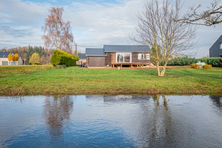
Explore the surroundings