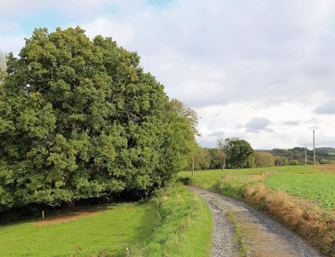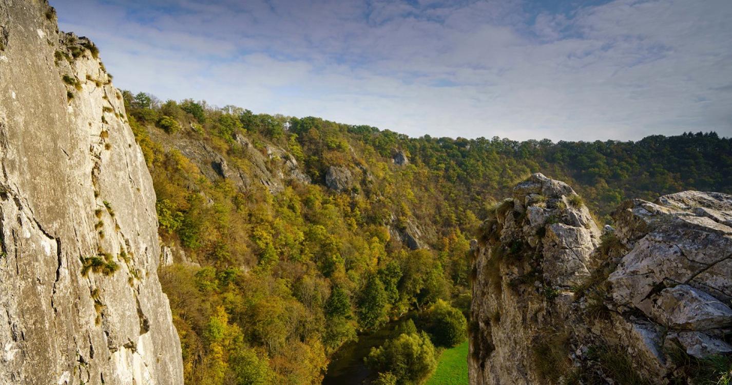
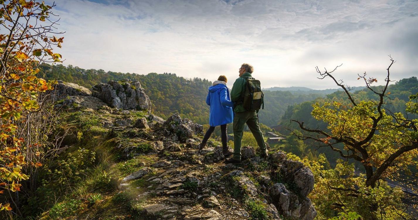
Walk to discover one of the most beautiful cliffs of Belgium classified as Exceptional Heritage of Wallonia.
Detail of the route : Departure from the church of Furfooz. Go down to the station of Gendron-Celles then follow the Lesse. At the place called "Roche al Pène", take the direction of the viewpoint of the Aiguilles de Chaleux and continue to the village.
Possibility to have a picnic in the middle of the route.
Possibility to park on the parking lot of the "Salle des nutons".
Ardennes-étape Privilege
With your reservation, you automatically receive one month of Premium access to SityTrail, a GPS app that allows you to discover lots of great trails near your holiday home!
How do you activate your free access to SityTrail?
- Go to your customer account, Benefits section
- Click the link to create your account on the SityTrail website
- Download the app
- Explore the Ardennes!
Altimetric profile
Explore the surroundings
/Holiday-cottage-Sauna-105494-01/Fiche_G-Holiday-homes-105494-01-Doische-(Dinant)-1529400-1L.jpg)