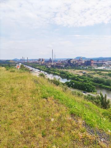
A completely different Charleroi comes into view a few dozen metres after the car park, as you first of all encounter a wooded view and then a rural setting.
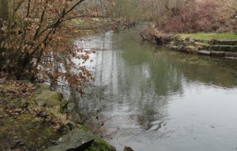
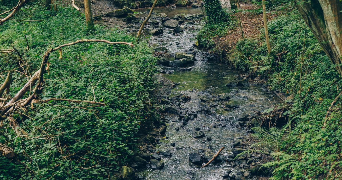
The Fontaine-qui-Bout stream valley is a joy to behold with its gentle twists and turns.
It runs along a huge meadow that includes an orchard and an authentic bocage landscape.
A farm heaves into view, while a wide panoramic view of the Bois du Prince region awaits you.
Rue Alexandre is a street full of unusual houses displaying an array of contemporary and organic styles. The forest is located alongside various fishing lakes.
Ardennes-étape Privilege
With your reservation, you automatically receive one month of Premium access to SityTrail, a GPS app that allows you to discover lots of great trails near your holiday home!
How do you activate your free access to SityTrail?
- Go to your customer account, Benefits section
- Click the link to create your account on the SityTrail website
- Download the app
- Explore the Ardennes!
Altimetric profile
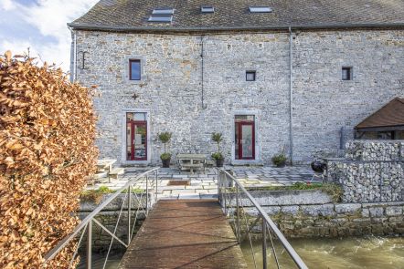
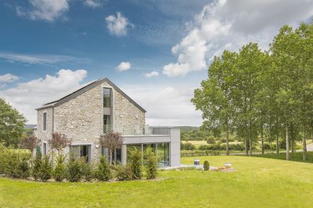
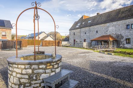
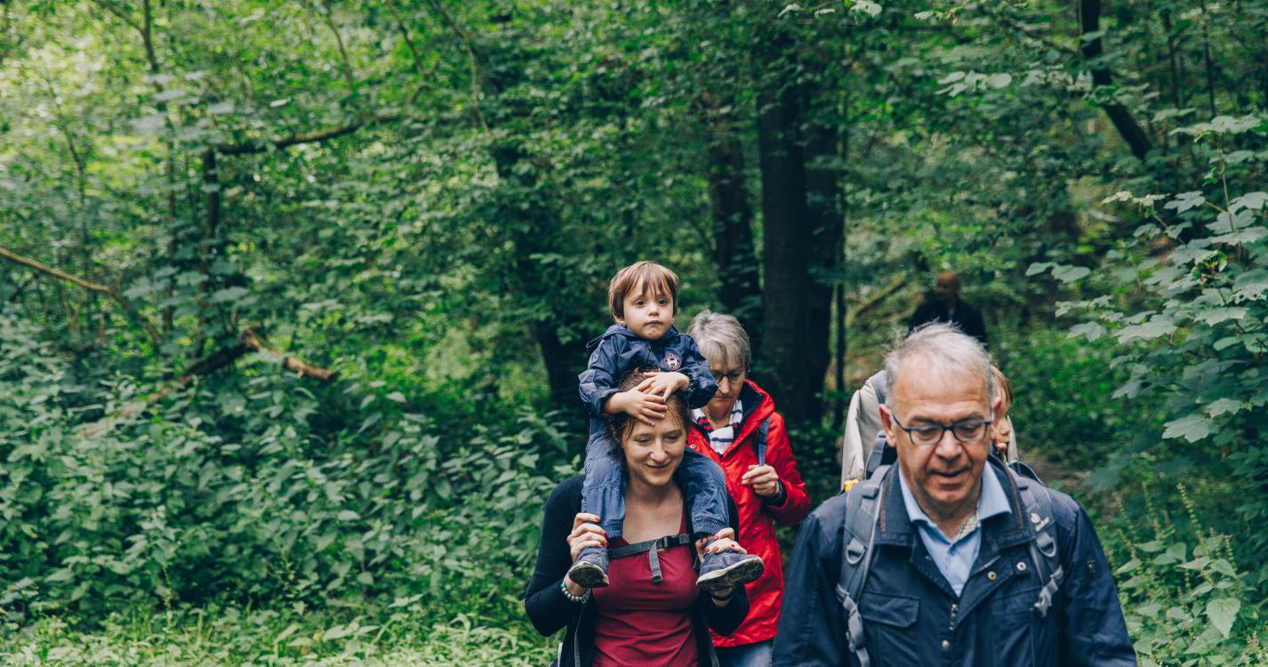
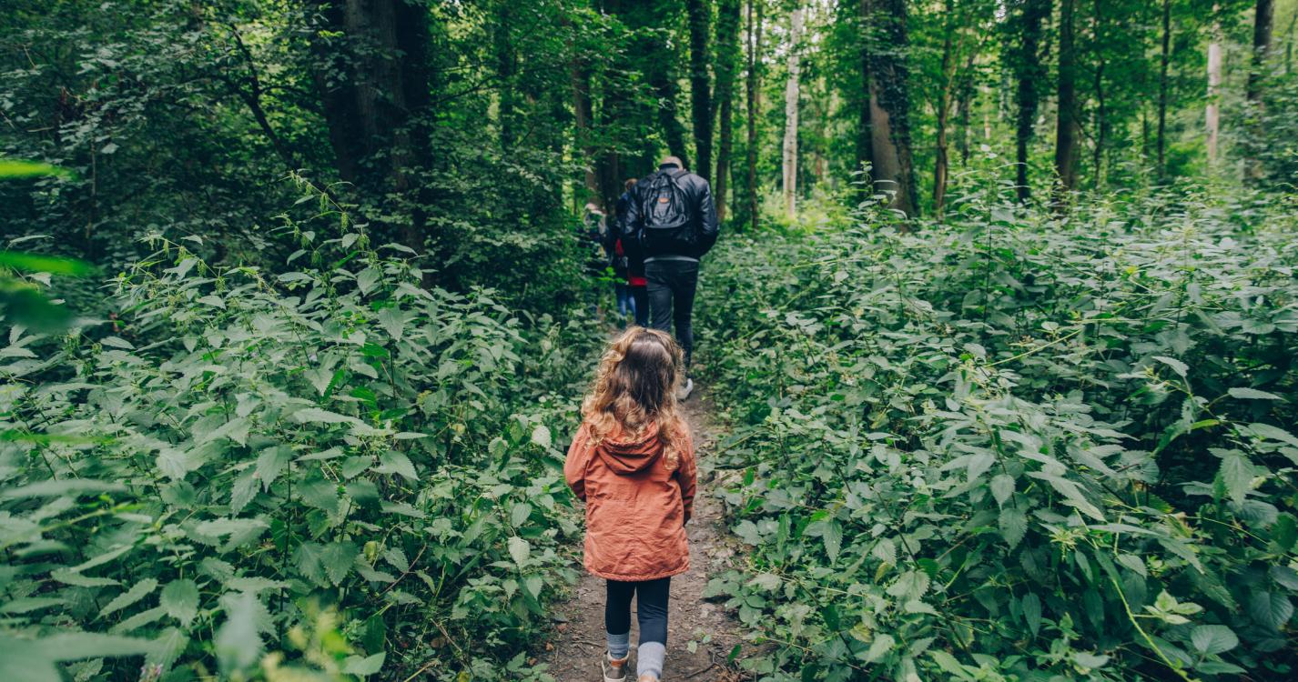
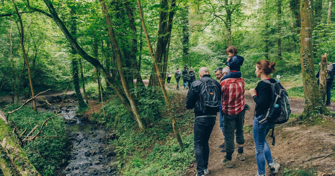
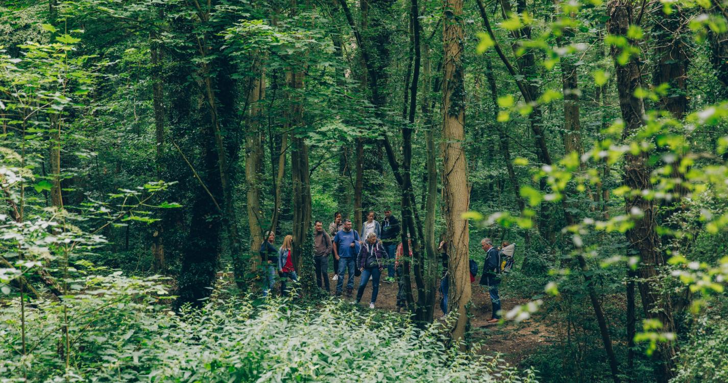
Explore the surroundings