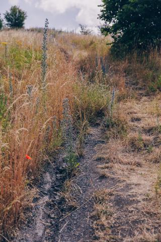


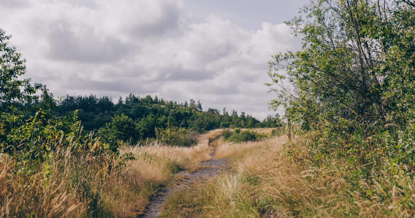

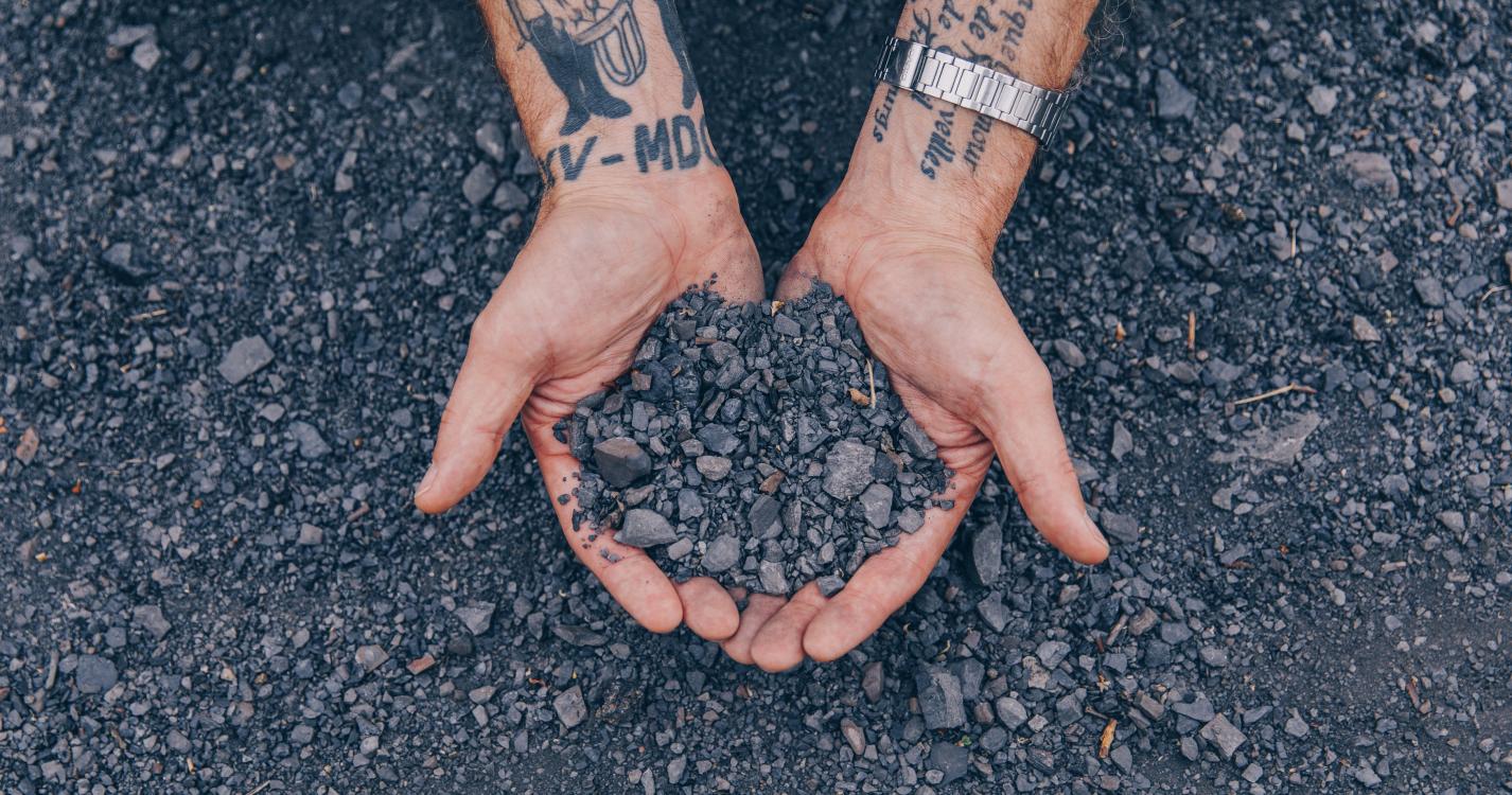
This small, generally comfortable route climbs gently up to the slag heap's intermediate plateau to reveal a view of a former settling pit that is now covered with reeds.
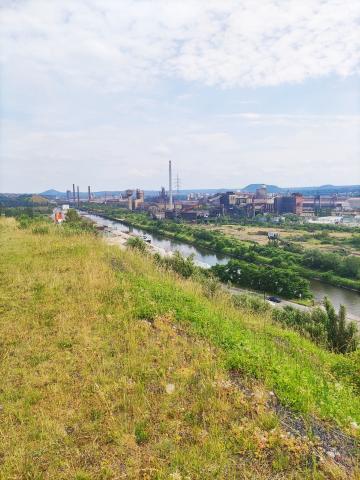
The trail continues up a gentle slope to the top where you will discover a breath-taking view of the slag heap chain and the steelworks at Marchienne-au-Pont and Marcinelle.
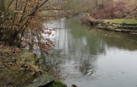
The tour ends with a pleasant walk around the settling pit, where you can enjoy different perspectives of the surrounding area.
Ardennes-étape Privilege
With your reservation, you automatically receive one month of Premium access to SityTrail, a GPS app that allows you to discover lots of great trails near your holiday home!
How do you activate your free access to SityTrail?
- Go to your customer account, Benefits section
- Click the link to create your account on the SityTrail website
- Download the app
- Explore the Ardennes!
Altimetric profile
Explore the surroundings