Distance :
7.58km
Loop :
Yes
Difficulty :
Easy
Duration :
2h 05
Elevation gain :
123m
Elevation loss :
122m
Starting point :
50.242535,4.84039
Description
Trail created by Vallée de la Meuse Namur-Dinant.
Ardennes-étape Privilege
Loading...
With your reservation, you automatically receive one month of Premium access to SityTrail, a GPS app that allows you to discover lots of great trails near your holiday home!
How do you activate your free access to SityTrail?
- Go to your customer account, Benefits section
- Click the link to create your account on the SityTrail website
- Download the app
- Explore the Ardennes!
Altimetric profile
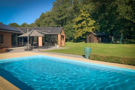
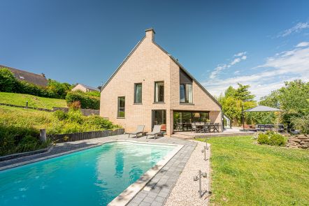
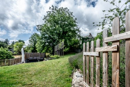
Explore the surroundings


/Holiday-cottage-Jacuzzi-104675-02/Fiche_G-Holiday-homes-104675-02-Dinant-(Waulsort)-1244282-1L.jpg)