Distance :
6.38km
Loop :
Yes
Difficulty :
Easy
Duration :
1h 54
Elevation gain :
153m
Elevation loss :
154m
Starting point :
50.74572,5.9953899999999996
Description
Trail created by Pays de Herve.
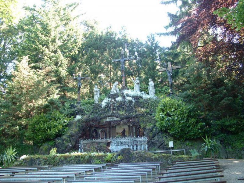
Tracé forestier débouchant sur le site marial de Moresnet-Chapelle et son calvaire monumental.
Suivre balisage "Croix verte" (voir photo ci-dessus).
Ardennes-étape Privilege
Loading...
With your reservation, you automatically receive one month of Premium access to SityTrail, a GPS app that allows you to discover lots of great trails near your holiday home!
How do you activate your free access to SityTrail?
- Go to your customer account, Benefits section
- Click the link to create your account on the SityTrail website
- Download the app
- Explore the Ardennes!
Altimetric profile
Explore the surroundings


/Luxury-villa-Swimming-pool-107397-01/Fiche_G-Luxury-villas-107397-01-Spa-(Jalhay)-1491078-1L.jpg)


