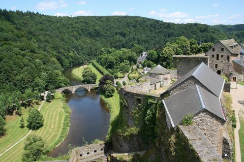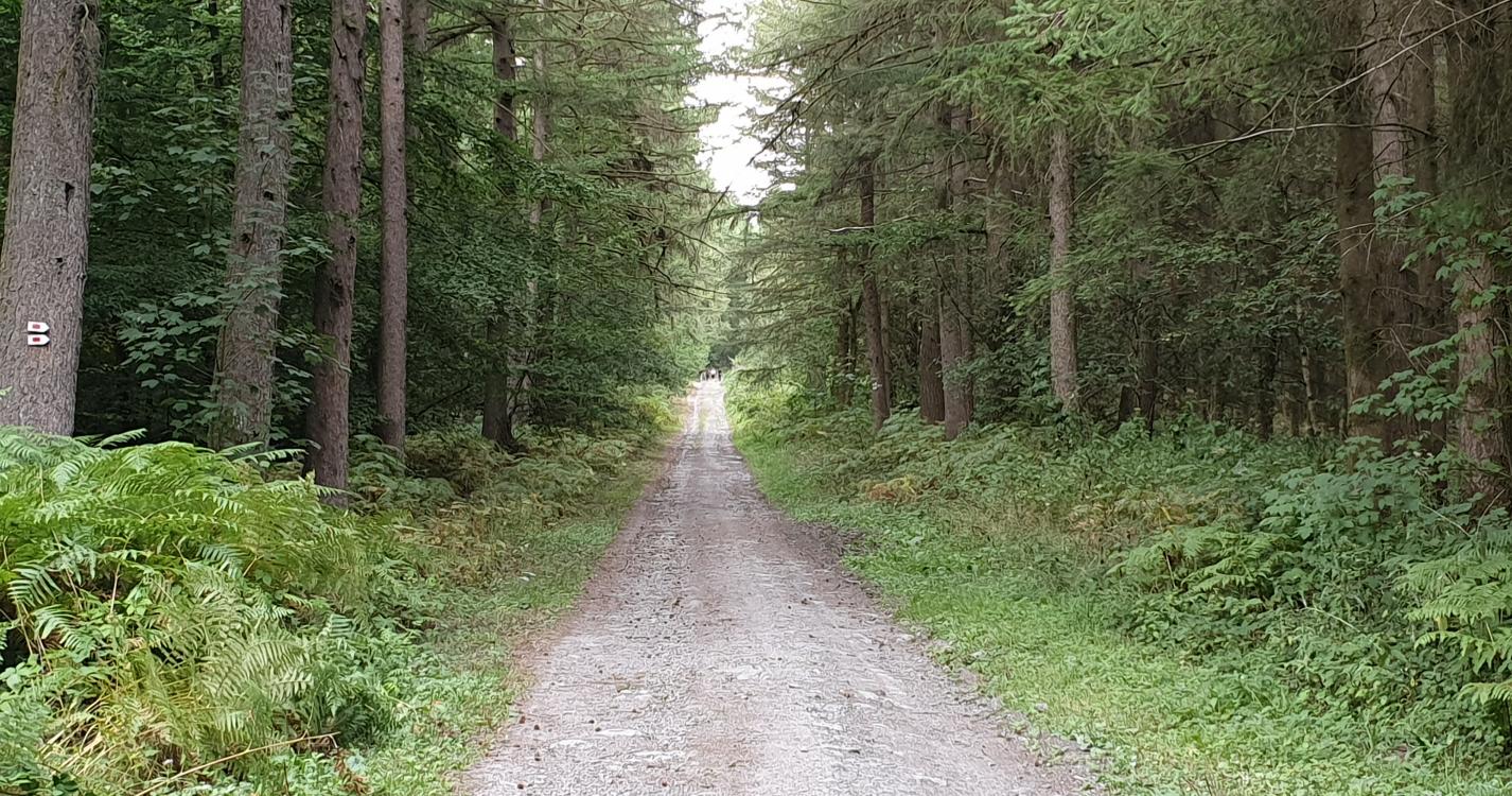
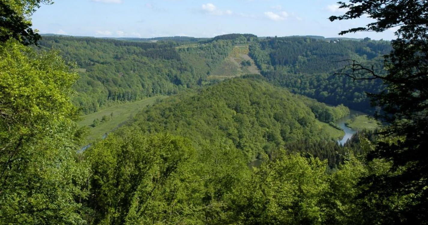
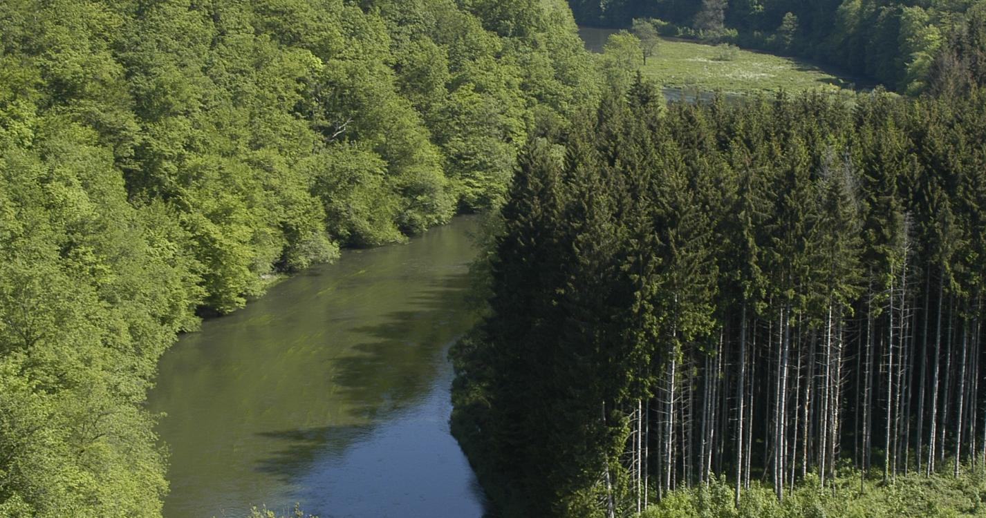
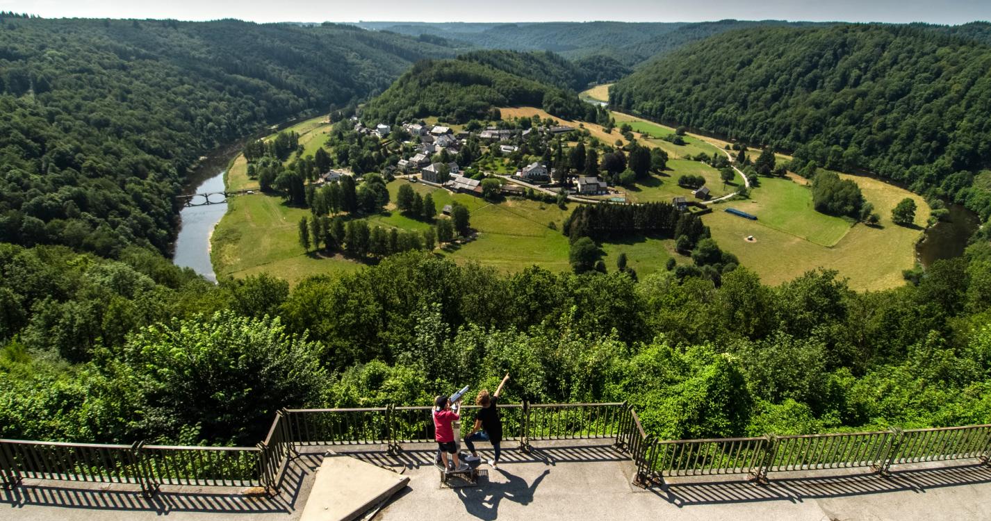
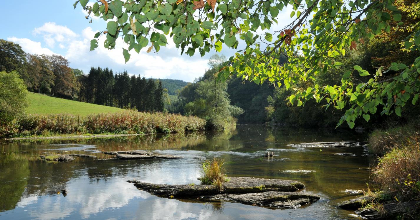
Magnificent line hike crossing the commune of Bouillon. Its forest massifs with their dreamy landscapes, its typical villages of Corbion, Poupehan, Rochehaut and Vivy will enchant you. A rich itinerary in terms of history, botany and landscape. A rustic path, wild in places or a large stone path at other times.
You can return via the forest path from Vivy to Mogimont and at the end of the wood, turn right onto the GR 14 to Bouillon. 12.5 km from Vivy to Bouillon. Total 30 km.
Possibility to stay at Rochehaut. Bus from Vivy only on weekdays (not weekends) to Bouillon.
Translated with www.DeepL.com/Translator (free version)
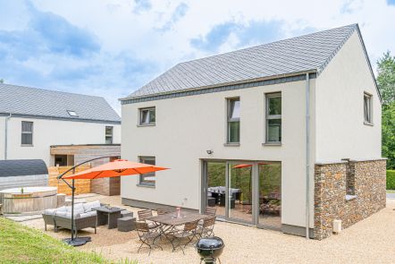
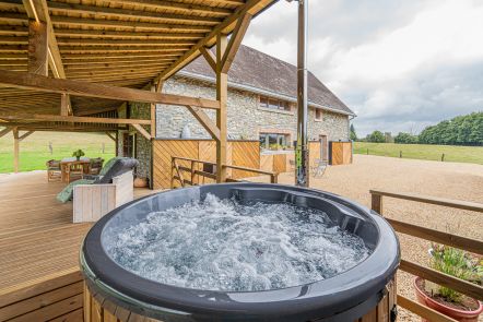
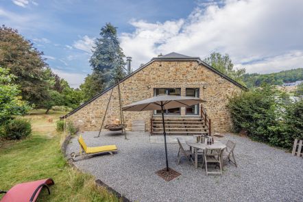
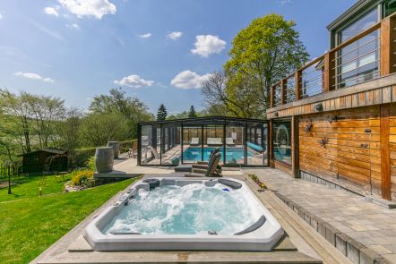
Ardennes-étape Privilege
With your reservation, you automatically receive one month of Premium access to SityTrail, a GPS app that allows you to discover lots of great trails near your holiday home!
How do you activate your free access to SityTrail?
- Go to your customer account, Benefits section
- Click the link to create your account on the SityTrail website
- Download the app
- Explore the Ardennes!
Altimetric profile
Explore the surroundings