

Distance :
7.36km
Loop :
Yes
Difficulty :
Easy
Duration :
2h 09
Elevation gain :
157m
Elevation loss :
162m
Starting point :
49.912057999999995,4.9183259999999995
Description
Trail created by Pays de Bouillon en Ardenne.
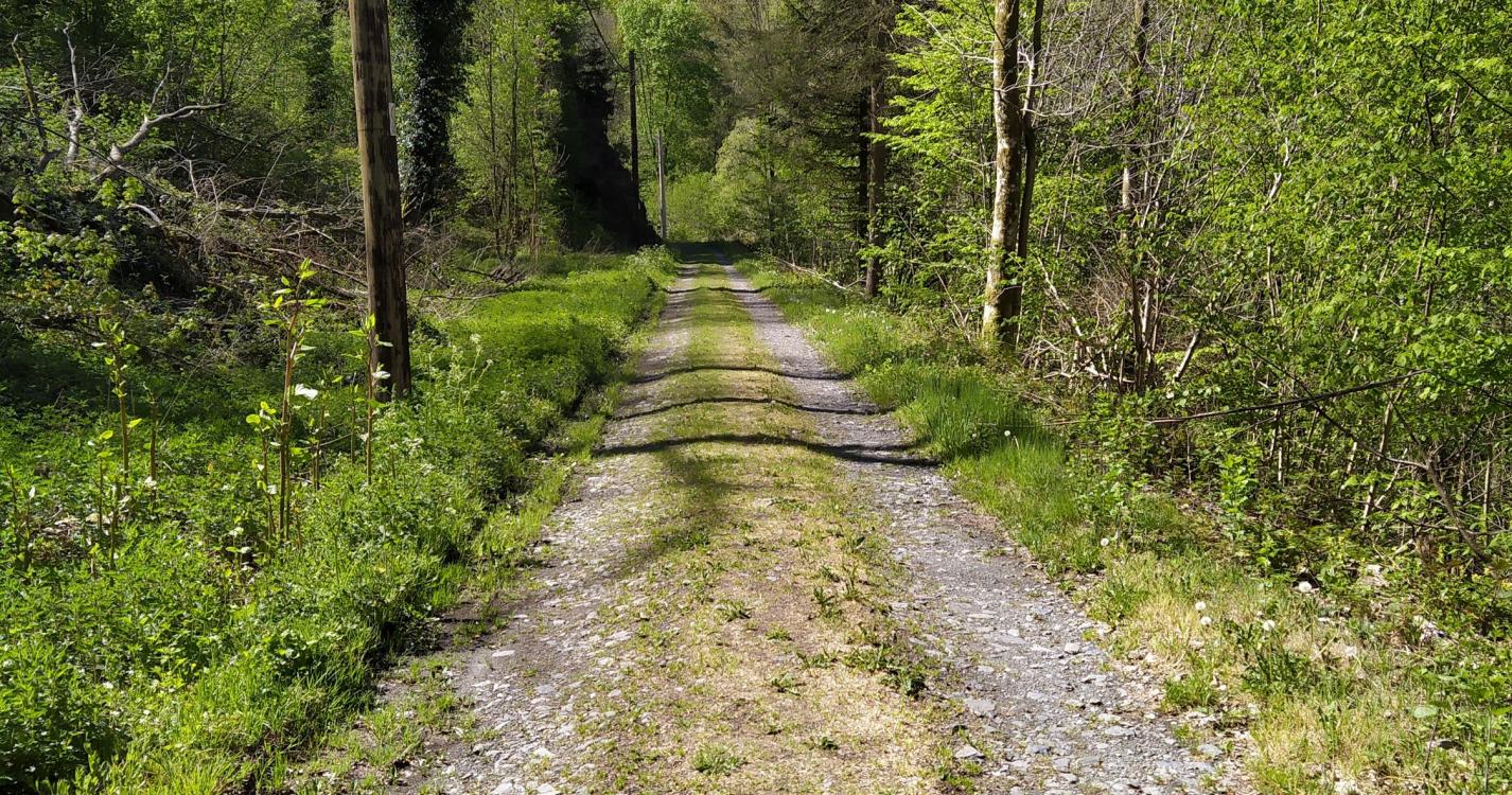
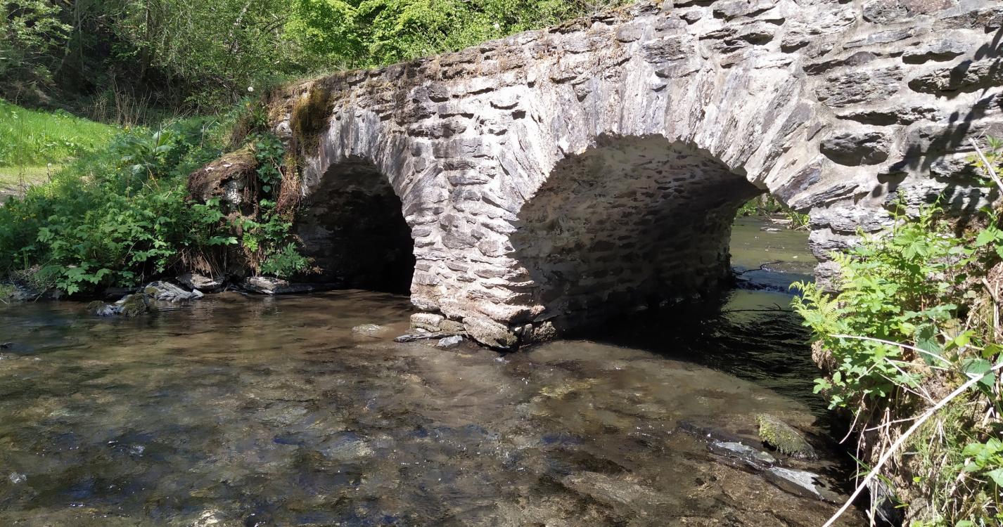
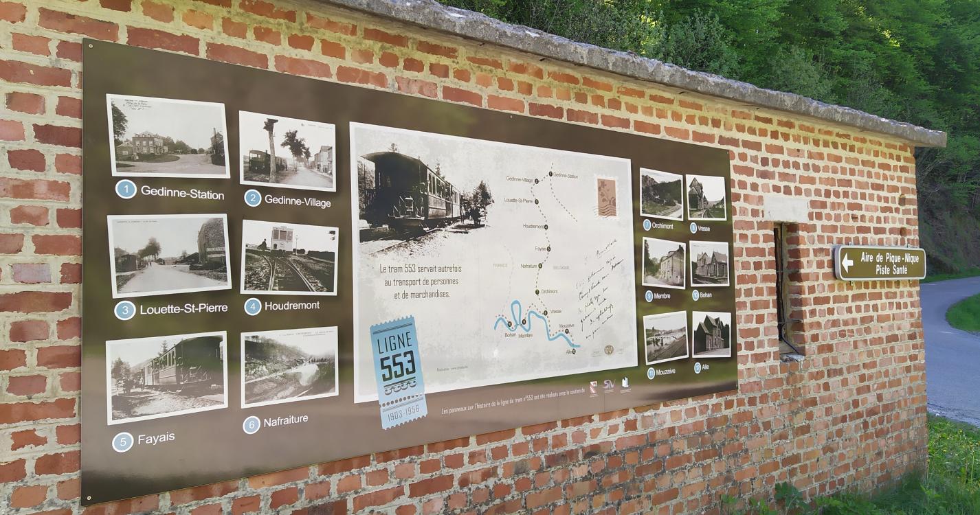
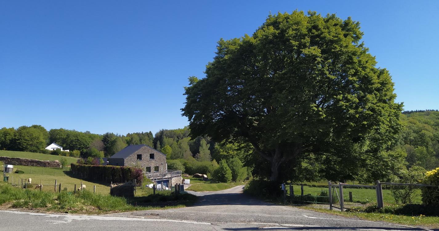
This hike follows the old tram line that connected Gedinne to Vresse in the last century. Along this paved road you will notice beautiful rock formations. The two old stations display with illustrations and panels a part of the history of the railway. You will also find a barbecue (Nafraiture) and a covered picnic area (Orchimont).
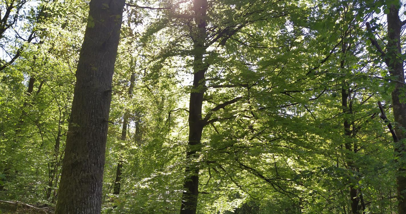
The way back is gradually uphill to the village through the forest and the vast fields on the heights.
Ardennes-étape Privilege
Loading...
With your reservation, you automatically receive one month of Premium access to SityTrail, a GPS app that allows you to discover lots of great trails near your holiday home!
How do you activate your free access to SityTrail?
- Go to your customer account, Benefits section
- Click the link to create your account on the SityTrail website
- Download the app
- Explore the Ardennes!
Altimetric profile
Explore the surroundings