


Distance :
6.92km
Loop :
Yes
Difficulty :
Intermediate
Duration :
1h 27
Elevation gain :
231m
Elevation loss :
232m
Starting point :
49.78116751,5.23756964
Description
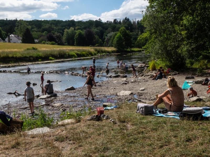
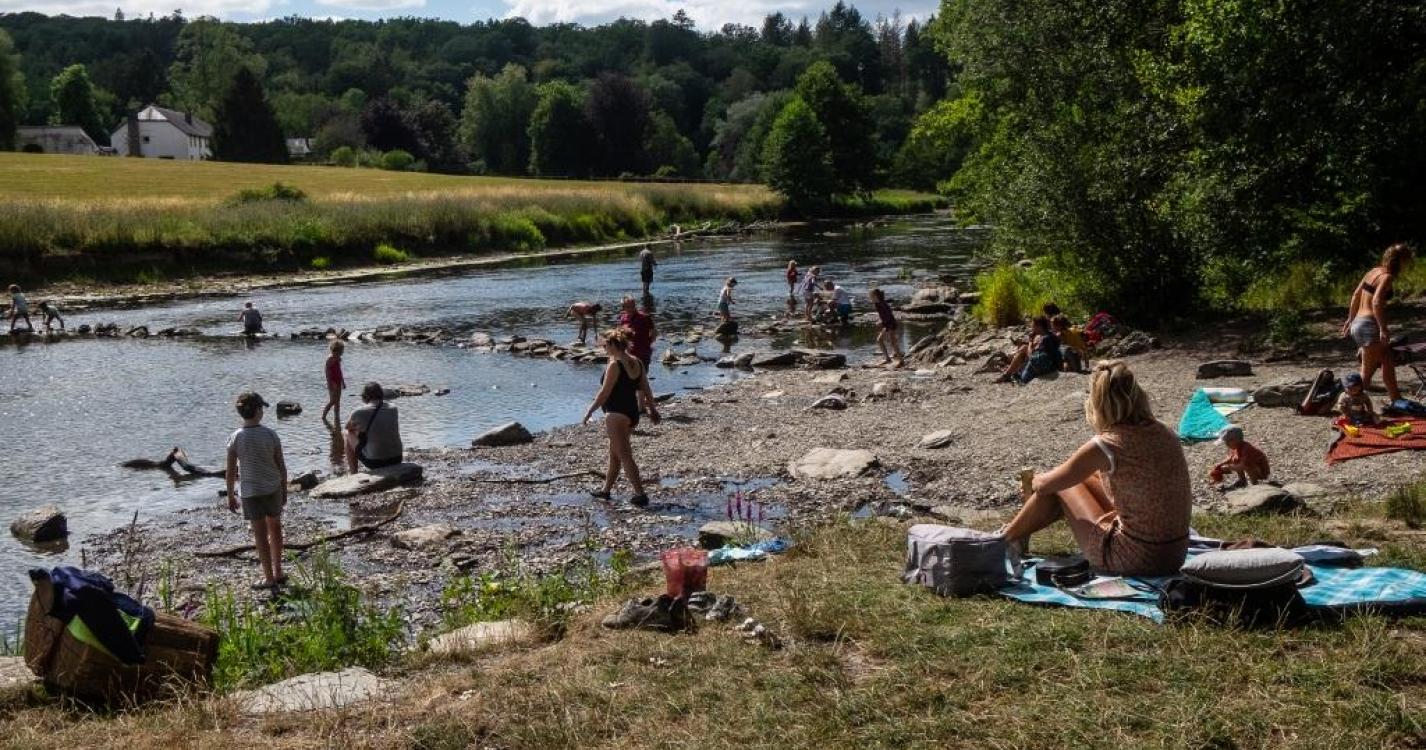
Le point fort de la randonnée se situe au point le plus bas : l'embouchure de la rivière Antrogne dans la Semois. Beau chemin à travers les forêts de feuillus avant d'arriver à la plage. Ce chemin est en mauvais état au départ.
---------------------------------------------------------------------------------------------
Het hoogtepunt van de wandeling bevindt zich op het laagste punt: de monding van de Antrogne in de Semois. Mooi pad door de loofbossen alvorens aan de badplaats te komen. Dit pad is wel in slechte staat aan het begin.
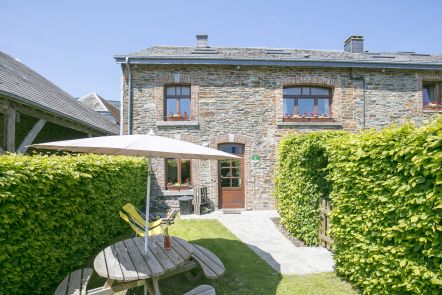
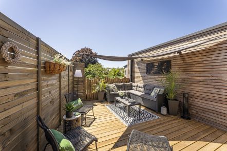
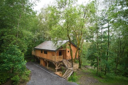
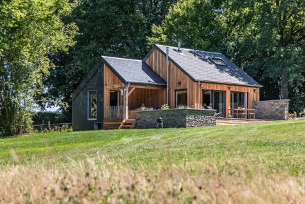
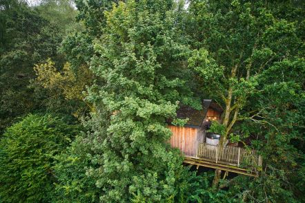
Ardennes-étape Privilege
Loading...
With your reservation, you automatically receive one month of Premium access to SityTrail, a GPS app that allows you to discover lots of great trails near your holiday home!
How do you activate your free access to SityTrail?
- Go to your customer account, Benefits section
- Click the link to create your account on the SityTrail website
- Download the app
- Explore the Ardennes!
Altimetric profile
Explore the surroundings