Distance :
9.03km
Signpost
Loop :
Yes
Difficulty :
Intermediate
Duration :
2h 42
Elevation gain :
272m
Elevation loss :
273m
Starting point :
50.056282,5.26356
Description
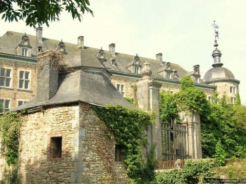
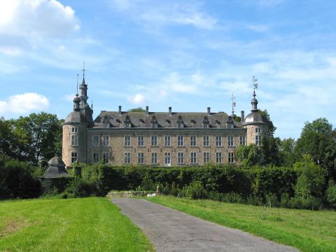
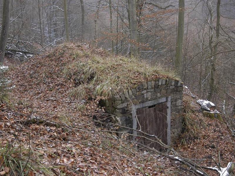
Cette balade forestière, au départ de l'église de Mirwart vous mènera à Blanche Virée, point culminant du domaine provincial de Mirwart, à une altitude de 427m.
Extrait de la carte de promenade « Au Pays de Saint-Hubert » (30 balades pédestres, 6 circuits VTT – carte topographique 1/25.000) disponible au Royal Syndicat d’Initiative de Saint-Hubert au prix de 8€.
Royal Syndicat d’Initiative de Saint-Hubert
Place du Marché, n°15
B-6870 SAINT-HUBERT
Tél.: +32 (0)61 61 30 10
Fax: +32 (0)61 61 54 44
rsi@saint-hubert-tourisme.be
www.rsi-sainthubert.be
facebook.com/rsisainthubert
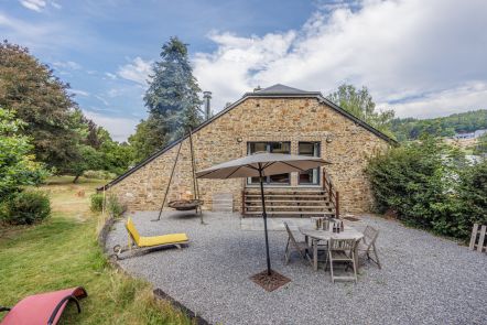
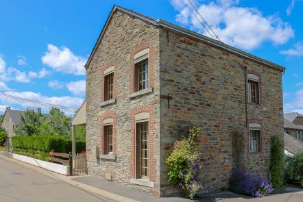
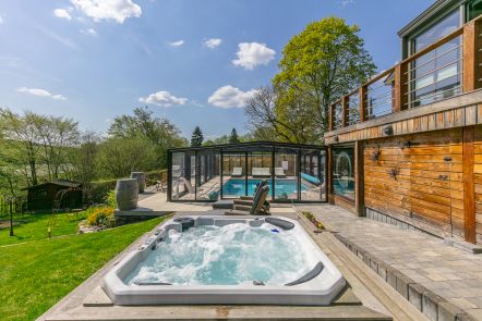
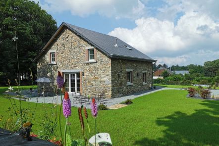
Ardennes-étape Privilege
Loading...
With your reservation, you automatically receive one month of Premium access to SityTrail, a GPS app that allows you to discover lots of great trails near your holiday home!
How do you activate your free access to SityTrail?
- Go to your customer account, Benefits section
- Click the link to create your account on the SityTrail website
- Download the app
- Explore the Ardennes!
Altimetric profile
Explore the surroundings