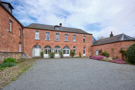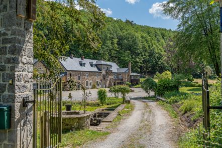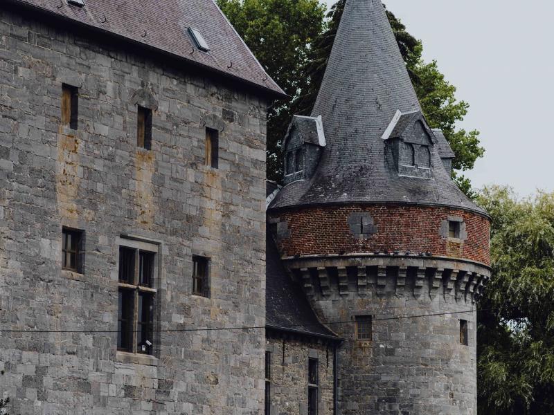
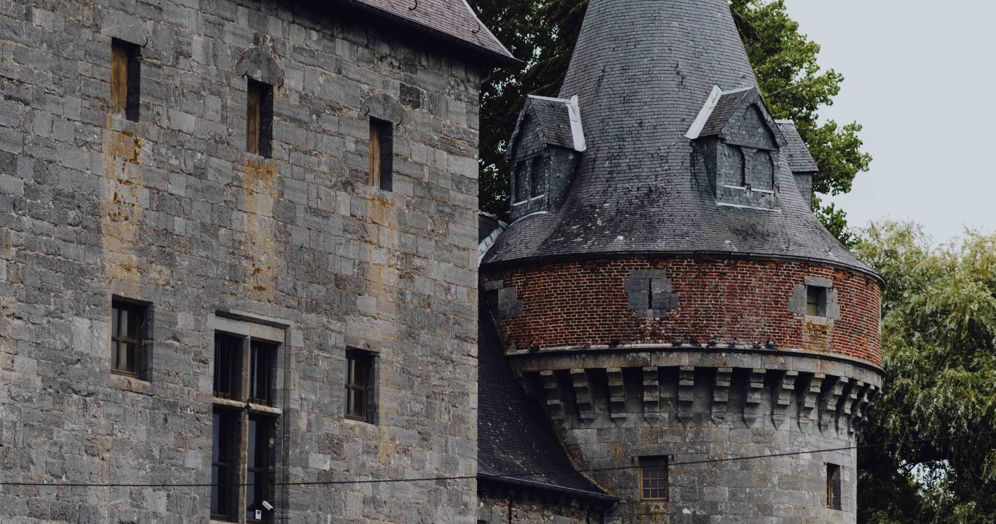
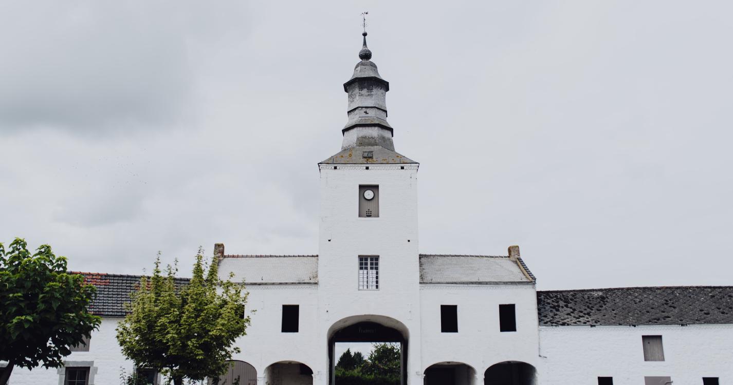

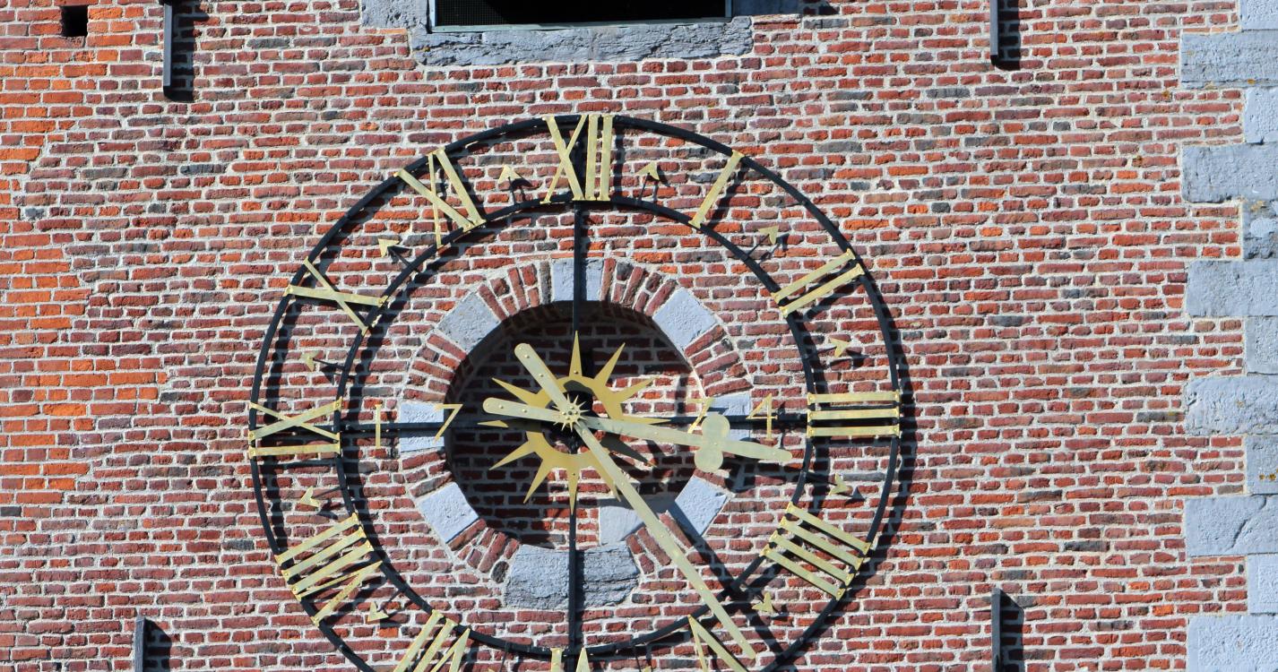
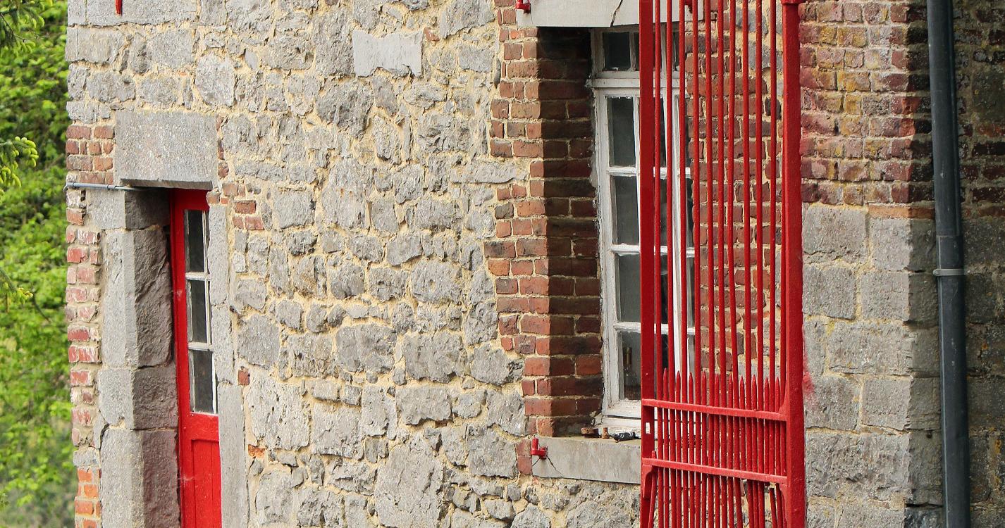
This itinerary begins at the foot of the fortified castle in Solre-sur-Sambre. Located at the meeting point of the Thure and Sambre rivers, the castle’s construction dates to the early 14th century. The castle defended the border. A testament to the Mediaeval military architecture of Hainaut, the castle has retained its quadrilateral design, with circular towers highlighting the four angles. The Thure river supplies the water for its moats. The Church of Saint-Médard stands proudly at the curve of the path that circles the castle and straddles the Thure. On the second Sunday in June, Saint-Médard accompanies the procession during the Entre-Sambre-et Meuse folk march. Once you reach the main road, pause before the bell tower farmhouse. It was erected in 1792 and its tower is a listed building. After crossing the fields bordering the woods, you can discover the Thure Abbey farmhouse, the last remaining vestige of an Augustinian canonesses’ abbey that was founded in the 13th century.
Ardennes-étape Privilege
With your reservation, you automatically receive one month of Premium access to SityTrail, a GPS app that allows you to discover lots of great trails near your holiday home!
How do you activate your free access to SityTrail?
- Go to your customer account, Benefits section
- Click the link to create your account on the SityTrail website
- Download the app
- Explore the Ardennes!
Altimetric profile
Explore the surroundings