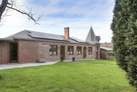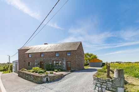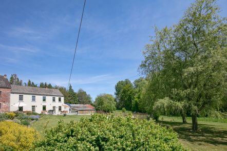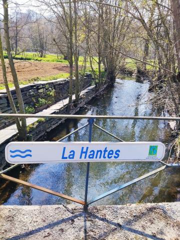


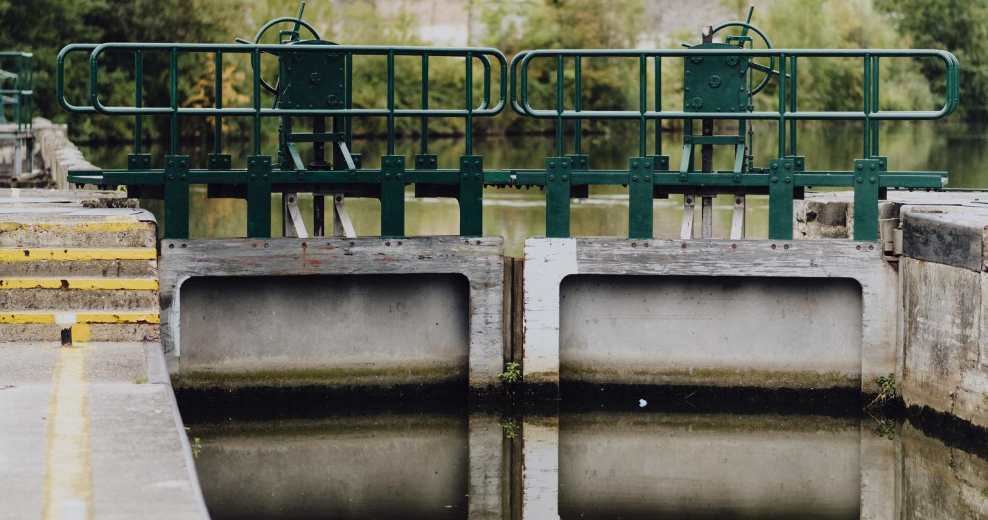

Allow yourself to be seduced by the rural countryside of Labuissière on this route, which covers a little over 3,000 hectares. The drawbridge and its manual lock are sure to grab your attention. The gable of the white house at no. 2, Rue Max Buset, houses a statue of Saint Martin from 1828. The twists and turns of the Sambre river gently guide you to Fontaine Valmont and its church. Merbes-le-Château is home to large farms, which were once renowned for the quality of the workhorses bred there. The small chapel of Saint-Pierre was restored in 1842.
Ardennes-étape Privilege
With your reservation, you automatically receive one month of Premium access to SityTrail, a GPS app that allows you to discover lots of great trails near your holiday home!
How do you activate your free access to SityTrail?
- Go to your customer account, Benefits section
- Click the link to create your account on the SityTrail website
- Download the app
- Explore the Ardennes!
Altimetric profile
Explore the surroundings