

Distance :
19.52km
Signpost
Loop :
Yes
Difficulty :
Très difficile
Duration :
5h 34
Elevation gain :
517m
Elevation loss :
516m
Starting point :
50.053104,5.380933
Description
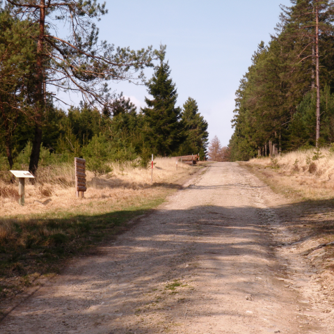
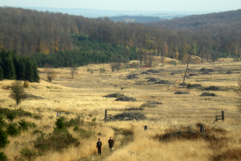
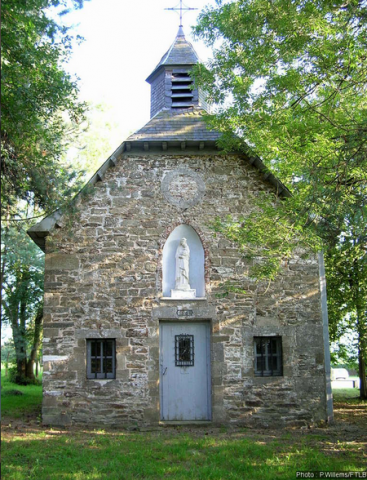
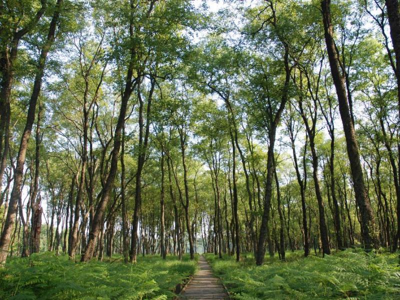
Cette grande balade en forêt vous emmènera jusqu'à la réserve naturelle de la Fagne du Rouge Poncé et son sentier en caillebotis, ainsi qu'à l'observatoire de Bilaude. Le circuit représente un bon aperçu des paysages boisés typiques de l’Ardenne et permet d’apercevoir le site du Pont Mauricy.
xtrait de la carte de promenade « Au Pays de Saint-Hubert » (30 balades pédestres, 6 circuits VTT – carte topographique 1/25.000) disponible au Royal Syndicat d’Initiative de Saint-Hubert au prix de 8€.
Royal Syndicat d’Initiative de Saint-Hubert
Place du Marché, n°15
B-6870 SAINT-HUBERT
Tél.: +32 (0)61 61 30 10
Fax: +32 (0)61 61 54 44
rsi@saint-hubert-tourisme.be
www.rsi-sainthubert.be
facebook.com/rsisainthubert
Ardennes-étape Privilege
Loading...
With your reservation, you automatically receive one month of Premium access to SityTrail, a GPS app that allows you to discover lots of great trails near your holiday home!
How do you activate your free access to SityTrail?
- Go to your customer account, Benefits section
- Click the link to create your account on the SityTrail website
- Download the app
- Explore the Ardennes!
Altimetric profile
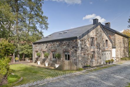
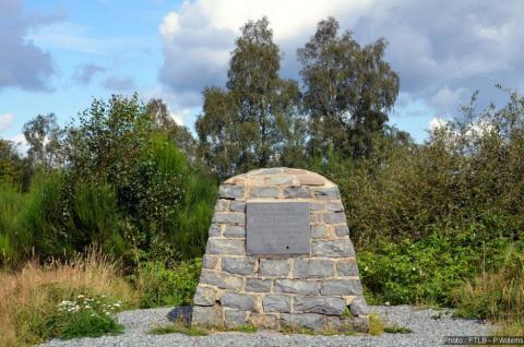
Explore the surroundings