

Distance :
2.78km
Loop :
Yes
Duration :
0h 45
Elevation gain :
27m
Elevation loss :
29m
Starting point :
50.166088,4.18279
Description
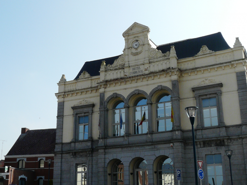
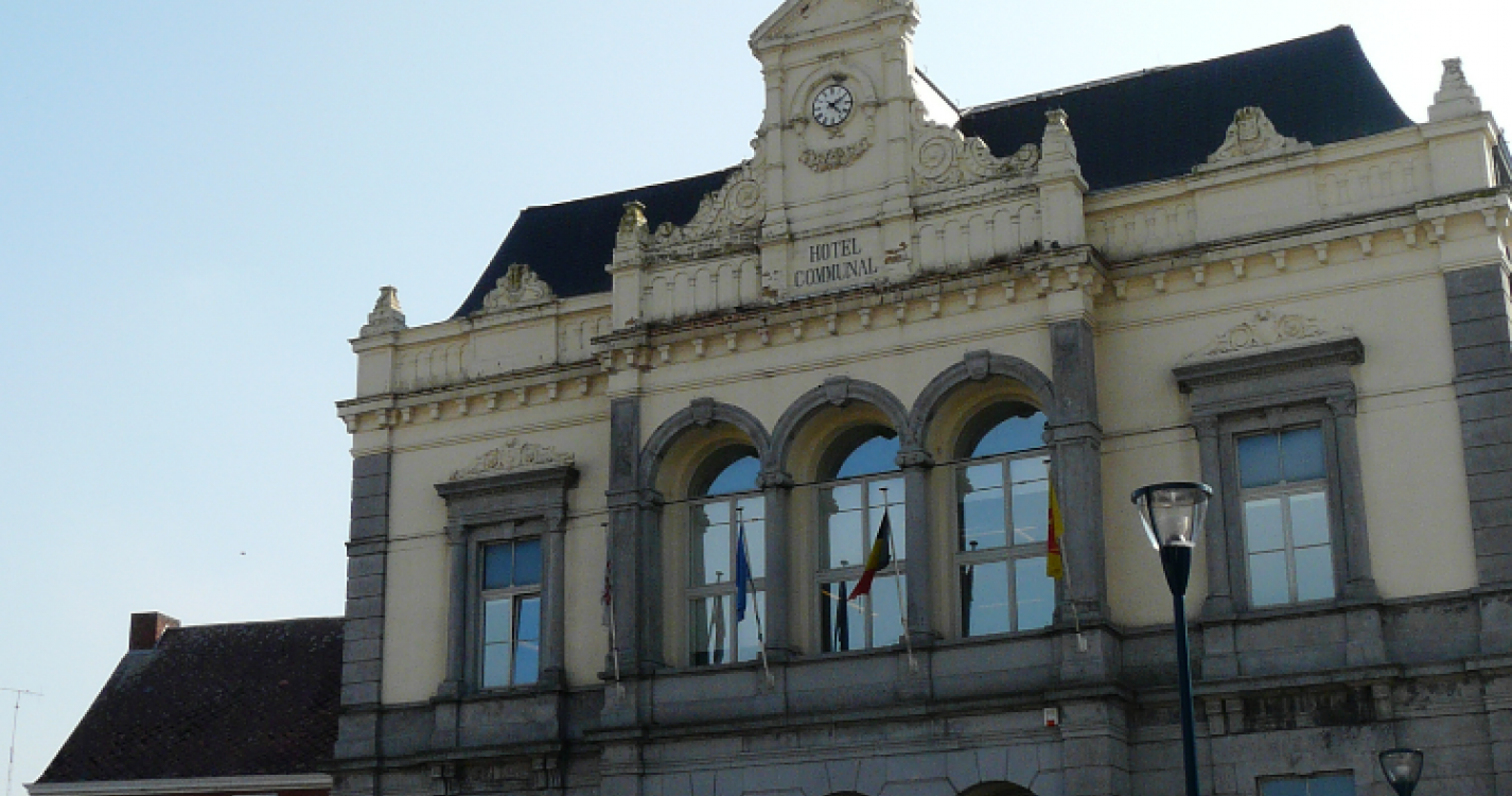
Sivry is the heart of the municipality. It touches France on its West side and covers
a surface area of 2,287 hectares. It has around 1,500 inhabitants. Its
name comes from the fact that it once had many goats ("chèvres") on its territory.
In the Walloon language, Sivry is named "Chèvri", and the inhabitants of Sivry are called "Chevrotins". A number of families made their living by making clogs,
combing wool and spinning stockings. On 25 August 1914, over 80 houses
as well as the church, the girls' school and the station were burnt down by the German
invaders. The village centre was profoundly changed.
Ardennes-étape Privilege
Loading...
With your reservation, you automatically receive one month of Premium access to SityTrail, a GPS app that allows you to discover lots of great trails near your holiday home!
How do you activate your free access to SityTrail?
- Go to your customer account, Benefits section
- Click the link to create your account on the SityTrail website
- Download the app
- Explore the Ardennes!
Altimetric profile
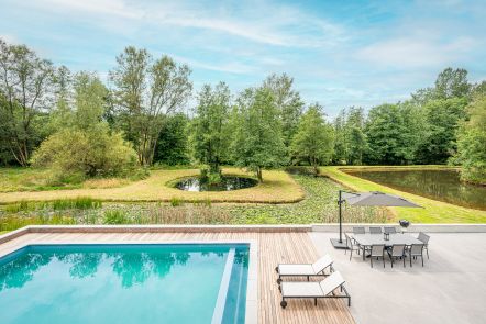
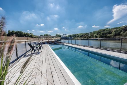
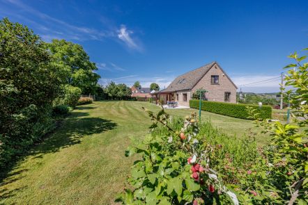
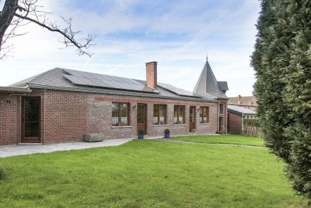
Explore the surroundings