

Distance :
4.24km
Loop :
Yes
Duration :
1h 15
Elevation gain :
70m
Elevation loss :
70m
Starting point :
50.201348,4.171444
Description
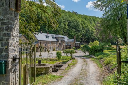
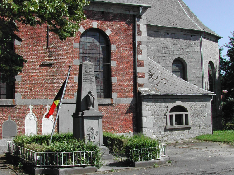
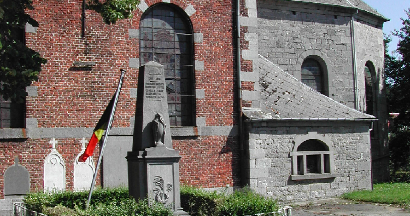
Grandrieu is the northernmost village in the municipality. It covers an
area of 1691 hectares, 255 of which are wooded. Its name comes from the Latin "Grandis Rivus" meaning "Big Stream". The existence of the village dates back to Roman times, and its remains were discovered in the late 19th century.
Ardennes-étape Privilege
Loading...
With your reservation, you automatically receive one month of Premium access to SityTrail, a GPS app that allows you to discover lots of great trails near your holiday home!
How do you activate your free access to SityTrail?
- Go to your customer account, Benefits section
- Click the link to create your account on the SityTrail website
- Download the app
- Explore the Ardennes!
Altimetric profile
Explore the surroundings