Distance :
7.48km
Signpost
Loop :
Yes
Difficulty :
Easy
Duration :
2h 23
Elevation gain :
226m
Elevation loss :
227m
Starting point :
49.88637309947832,5.816204899999999
Description
Trail created by Ministère de l´Économie.
Website: https://map.geoportail.lu/theme/tourisme?fid=176_3541040
Website: https://map.geoportail.lu/theme/tourisme?fid=176_3541040
Ardennes-étape Privilege
Loading...
With your reservation, you automatically receive one month of Premium access to SityTrail, a GPS app that allows you to discover lots of great trails near your holiday home!
How do you activate your free access to SityTrail?
- Go to your customer account, Benefits section
- Click the link to create your account on the SityTrail website
- Download the app
- Explore the Ardennes!
Altimetric profile
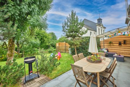
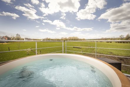
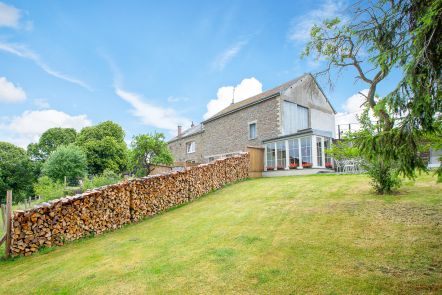
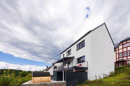
Explore the surroundings