Distance :
3.59km
Loop :
Yes
Difficulty :
Easy
Duration :
1h 13
Elevation gain :
133m
Elevation loss :
135m
Starting point :
49.830605999999996,5.7351209999999995
Description
Trail created by Haute-Süre Forêt d'Anlier en Ardenne.
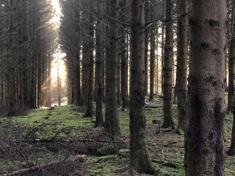
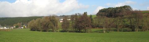
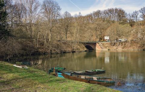
The Belvedere walk takes you to the northern hill of the Haute-Sûre valley, called the Hardt, a well-found name because the street to climb is steep. The latter is the ancestor of the Brussels-Luxembourg national road. When you arrive at the Belvedere your climb is rewarded by the viewpoint over the valley of the Sûre, at the place called Rommer Schlied.
Ardennes-étape Privilege
Loading...
With your reservation, you automatically receive one month of Premium access to SityTrail, a GPS app that allows you to discover lots of great trails near your holiday home!
How do you activate your free access to SityTrail?
- Go to your customer account, Benefits section
- Click the link to create your account on the SityTrail website
- Download the app
- Explore the Ardennes!
Altimetric profile
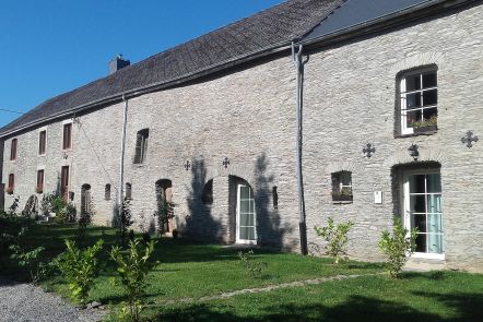
Explore the surroundings