Distance :
9.31km
Loop :
Yes
Difficulty :
Easy
Duration :
2h 56
Elevation gain :
271m
Elevation loss :
275m
Starting point :
49.781151,5.239053
Description
Trail created by Pays de Bouillon en Ardenne.
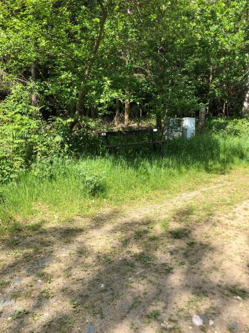
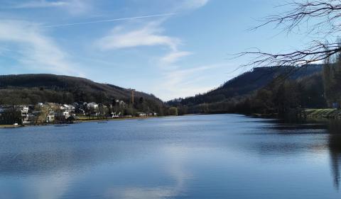
The highlight of the hike is at the lowest point: the mouth of the Antrogne in the Semois. Nice path through the deciduous forests before arriving at the bathing resort. However, this path is in bad shape at the start.
Ardennes-étape Privilege
Loading...
With your reservation, you automatically receive one month of Premium access to SityTrail, a GPS app that allows you to discover lots of great trails near your holiday home!
How do you activate your free access to SityTrail?
- Go to your customer account, Benefits section
- Click the link to create your account on the SityTrail website
- Download the app
- Explore the Ardennes!
Altimetric profile
Explore the surroundings





/Holiday-cottage-Sauna-105361-01/Fiche_G-Cottages-105361-01-Bertrix-(Jehonville)-1600814-1L.jpg)
