Departure : Place d'Haut-le-Wastia.
Back to the church, go left. Turn left into Coron des Trys street and then right to go down the road to Haut-le-Wastia.
Take the old path behind the embankments for the beautiful panorama.
After 500m, turn left towards the farm of Ohet.
Pass to the right of it and go down to the Molignée.
Pass next to a camping.
Join the road of Molignée that you take to the left at the restaurant.
After 100m, turn right into the rue de la Gare.
Leave the snail farm on the right.
After 400m, take the path which goes up on the left.
At the top, take the road to the right and directly the path to the left which will lead you along the cemetery.
You arrive at the church square of Warnant which can be another possible starting point.
Turn left and left again at the farm.
After the schools, take the path on the right.
Join the road to La Molignée.
Cross the railroad, follow the road for 300m to pass in front of the Varoy castle.
Immediately after, take the bridge on the right and go up by the path of Creute towards the starting point.
Ardennes-étape Privilege
With your reservation, you automatically receive one month of Premium access to SityTrail, a GPS app that allows you to discover lots of great trails near your holiday home!
How do you activate your free access to SityTrail?
- Go to your customer account, Benefits section
- Click the link to create your account on the SityTrail website
- Download the app
- Explore the Ardennes!
Altimetric profile
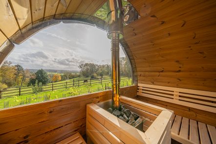
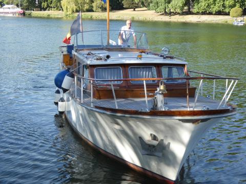
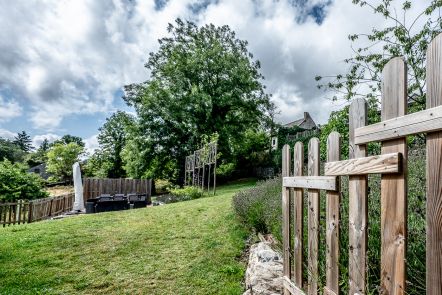
Explore the surroundings


/Holiday-cottage-Jacuzzi-104675-02/Fiche_G-Holiday-homes-104675-02-Dinant-(Waulsort)-1244282-1L.jpg)