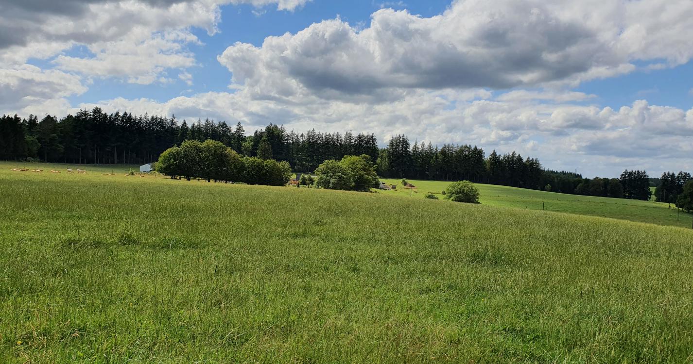


Nice and easy walk to the Charlier viewpoint and among other things to the most famous oak tree in the region, which may date from the 17th century. Nice view around the Ferme des Mouches with the possibility to admire the remarkable oak tree of Les Mouches. The descent from Dos de Loup offers a view to the east of Bouillon.
The most famous oak tree in the Bouillon area is French! It owes its preservation to Belgians who protected it, notably in 1870, when the Prussians, at war with the French, began to cut it down. Then, in 1970, when the effects of the drought almost killed it, a rejuvenation pruning of the dead branches and a pruning gave it a new youth. At the end of the last century, hit by a lightning strike that stripped the bark from the entire length of the trunk and a width of one to two metres, the French put a plant tar on the bast and the oak survived.
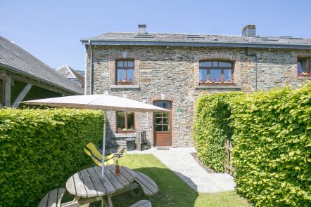
Ardennes-étape Privilege
With your reservation, you automatically receive one month of Premium access to SityTrail, a GPS app that allows you to discover lots of great trails near your holiday home!
How do you activate your free access to SityTrail?
- Go to your customer account, Benefits section
- Click the link to create your account on the SityTrail website
- Download the app
- Explore the Ardennes!
Altimetric profile
Explore the surroundings