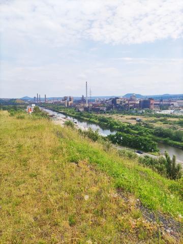

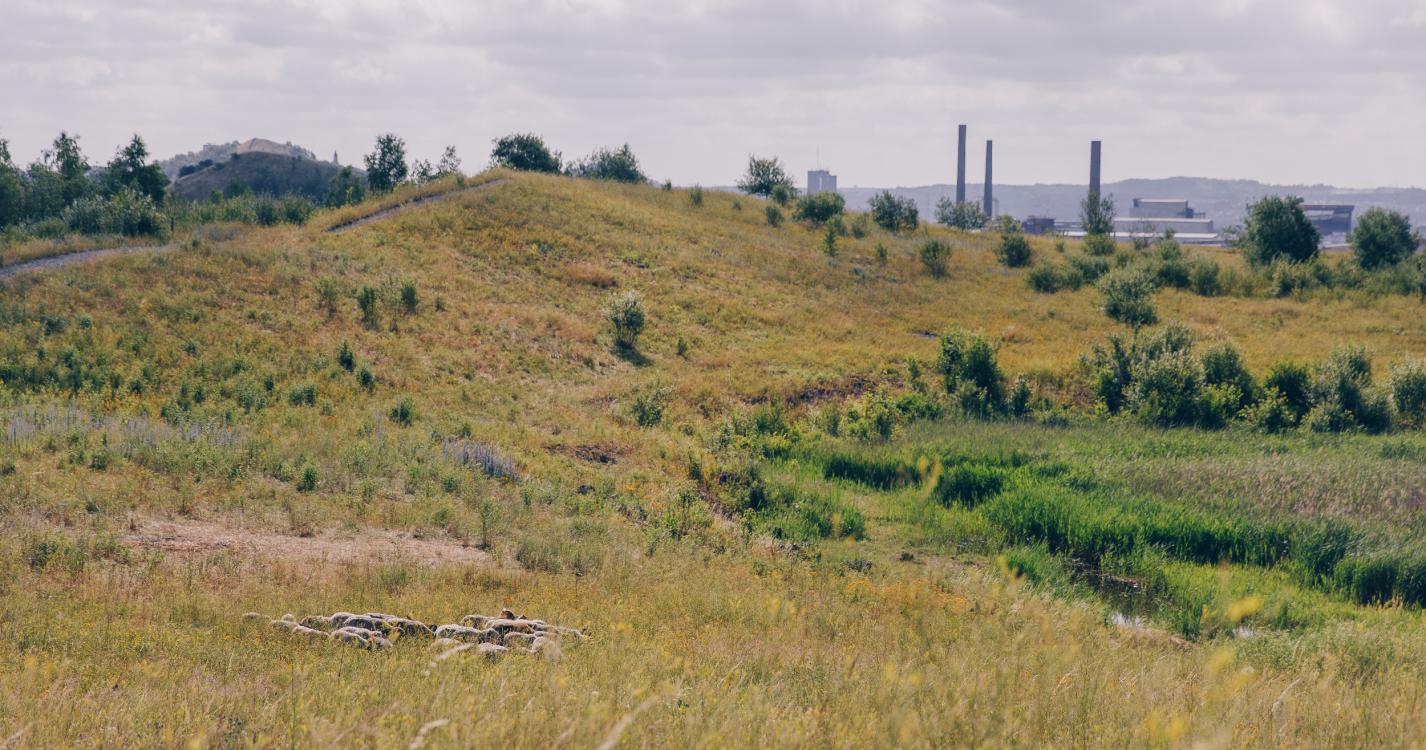
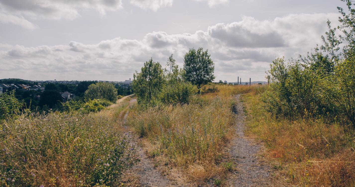
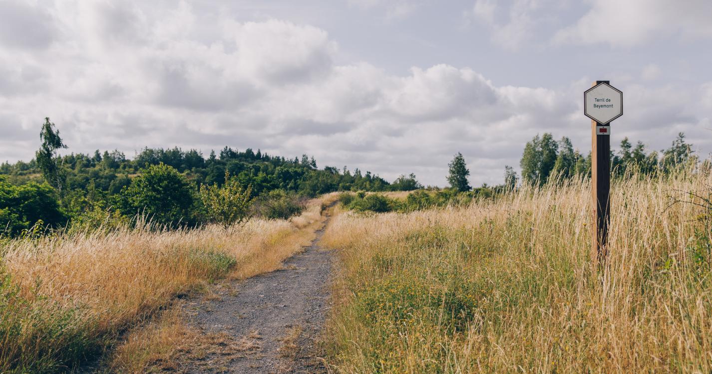
A section of the route leading up to the RAVeL network of greenways is an opportunity for you to warm up before tackling a series of four slag heaps, where you can enjoy an exceptional view of the iron and steelworks.
Only the ascent of the Saint-Théodore slag heap is a bit more of challenge, but if you take a break from time to time, you can certainly rise to the occasion.
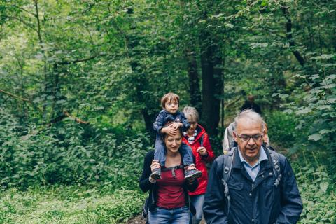
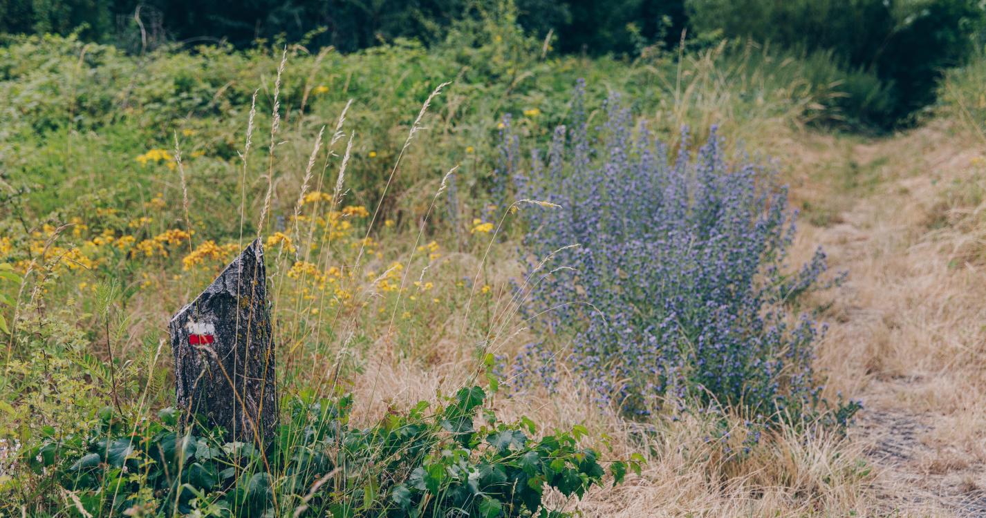
A walking tour that is ideal for families.
Photographers will appreciate the afternoon light.
Ardennes-étape Privilege
With your reservation, you automatically receive one month of Premium access to SityTrail, a GPS app that allows you to discover lots of great trails near your holiday home!
How do you activate your free access to SityTrail?
- Go to your customer account, Benefits section
- Click the link to create your account on the SityTrail website
- Download the app
- Explore the Ardennes!
Altimetric profile
Explore the surroundings