Departure : Place communale d'Anhée.
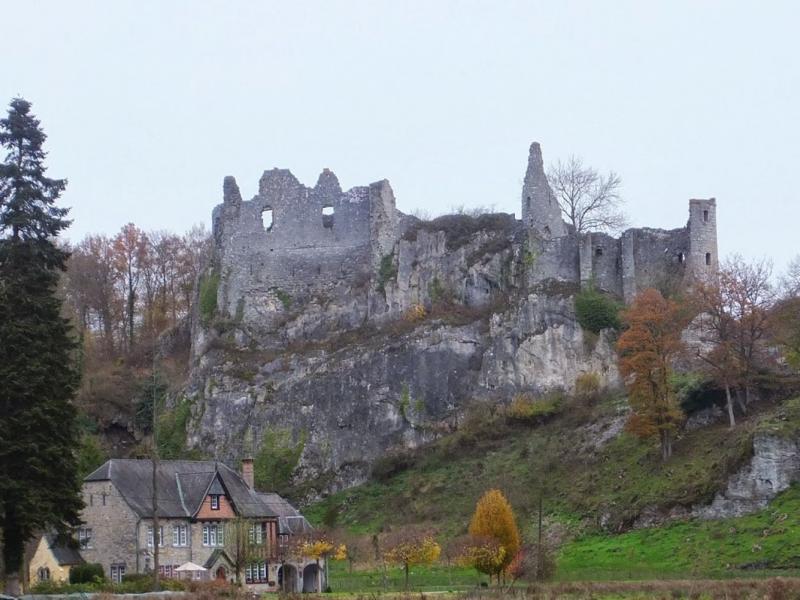
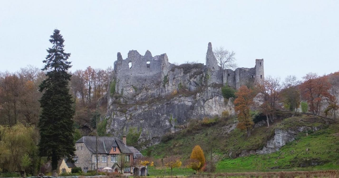
Take the street on the right of the Maison Communale, pass by the railroad and turn left into the rue des Maquisards. Continue straight ahead towards the schools. Before the schools, continue the path along the chapel of the guardian angel. At the next crossroads, after the small wood, continue straight ahead to reach the Potale Saint Antoine. Turn left to go along the wood, ignore the first path on the right at the corner of the wood and take the next one on the left. At the end of the wood, join a gravel road that you follow to the right to reach the French Memorial of Haut-le-Wastia. At the back of the memorial, take the path on the left towards the isolated house, enter the Bois de Foy. After the bend in the road, leave the stone path and take the path on the right that goes down to the Floyon near the Ruins of Montaigle which you can visit. Turn left to go up the Floyon, past the caves (including the Nutons) and the rock face and reach the Montaigle farm. Continue towards the modern castle of Montaigle and there turn left towards Les Ormes. At the Del Marmol monument, go straight on towards Hontoir and then through fields and woods, join the gravel road that you take to the right to reach the farms of Grange. Go down to the left on the tarmac towards Senenne. Continue straight on for 200m, then take the path on the left which passes over the Ry du Mazy and reaches the sports complex. There, take the railroad to the left to reach your starting point.
Ardennes-étape Privilege
With your reservation, you automatically receive one month of Premium access to SityTrail, a GPS app that allows you to discover lots of great trails near your holiday home!
How do you activate your free access to SityTrail?
- Go to your customer account, Benefits section
- Click the link to create your account on the SityTrail website
- Download the app
- Explore the Ardennes!
Altimetric profile
Explore the surroundings
/Holiday-cottage-Swimming-pool-106303-01/Fiche_G-Holiday-homes-106303-01-Dinant-(Hastiere)-1273925-1L.jpg)