
Departure : Place Vaxelaire in Bioul.
Take on your right the street of Fraire, then take the first street on the right, street of Frisles, and directly in the first street on the left, street of the Big Lime tree.
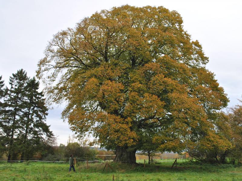
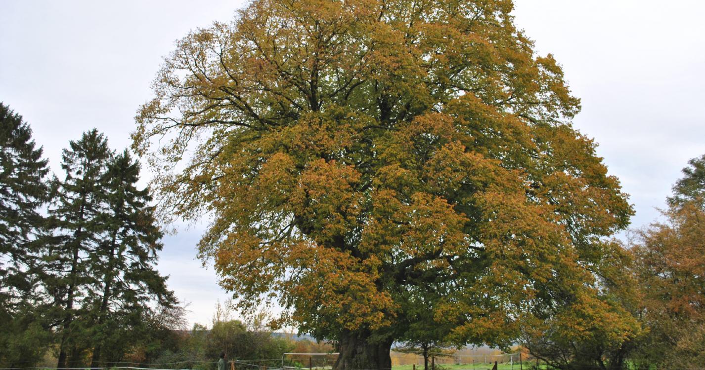
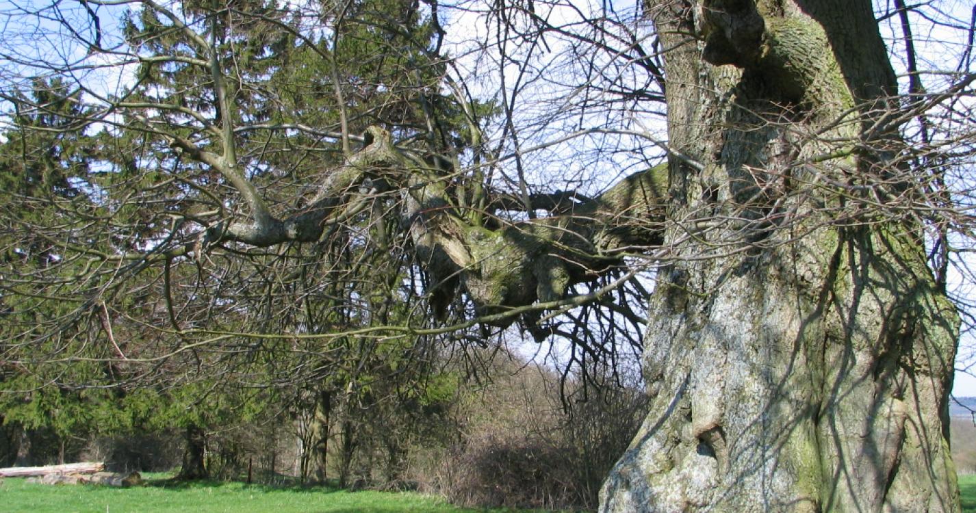
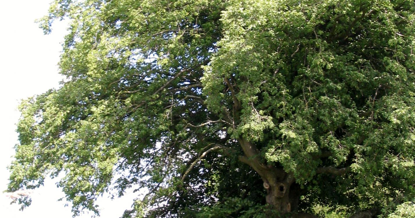
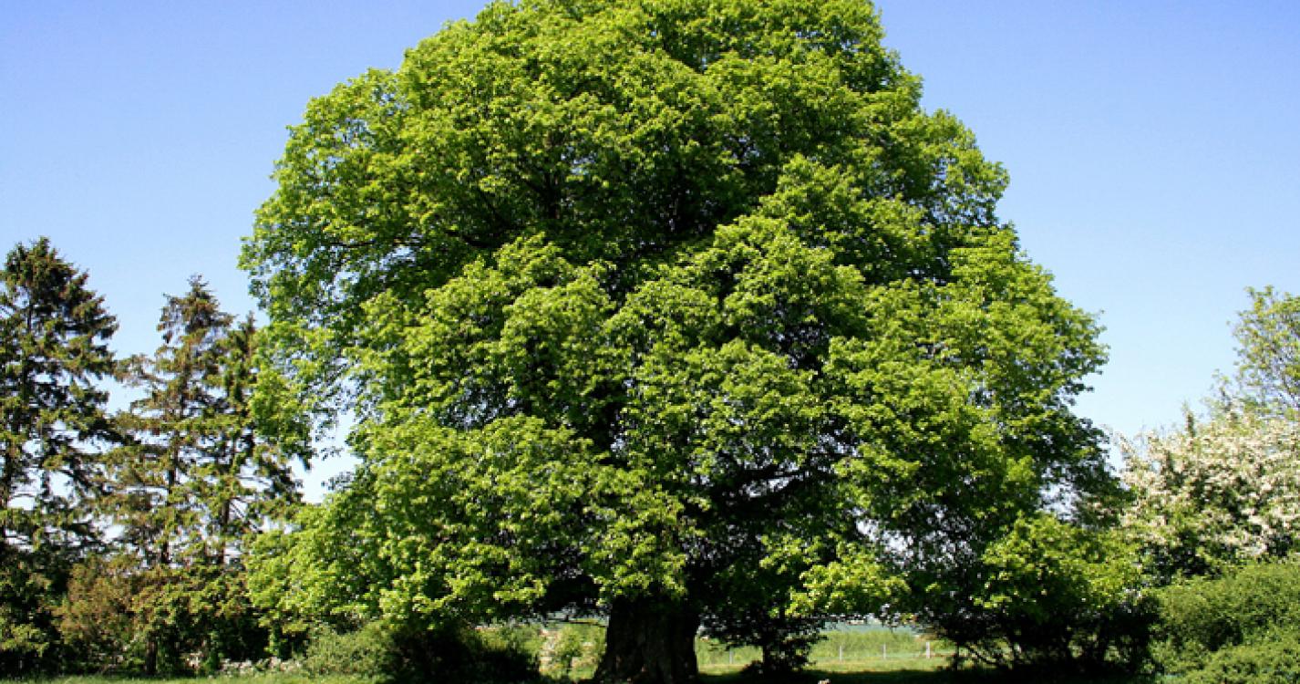
Opposite the old quarry buildings, a centuries-old lime tree stands in a pasture. Continue along this road, ignoring the first path on the right.
At the Y, take the right road, chemin du Bois Petitjean.
Enter the wood of Neffe. Neglect the crossroads.
Pass over a small tributary of the Burnot.
At the end of the wood, you are on the commune of Saint-Gérard.
After 200m, take the road on the left.
After 500m, go back through the wood.
After 400m, take the left road which will bring you back to the big lime tree from where you can easily reach the starting point.
Ardennes-étape Privilege
With your reservation, you automatically receive one month of Premium access to SityTrail, a GPS app that allows you to discover lots of great trails near your holiday home!
How do you activate your free access to SityTrail?
- Go to your customer account, Benefits section
- Click the link to create your account on the SityTrail website
- Download the app
- Explore the Ardennes!
Altimetric profile
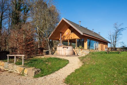
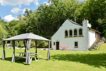
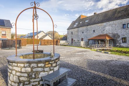
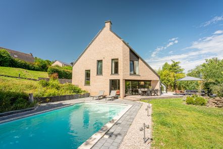
Explore the surroundings